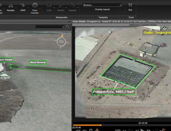
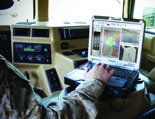
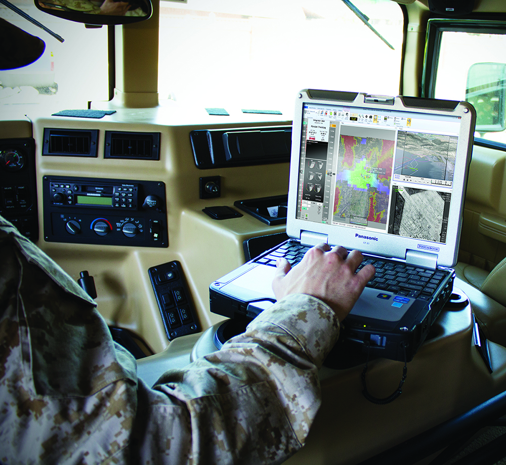
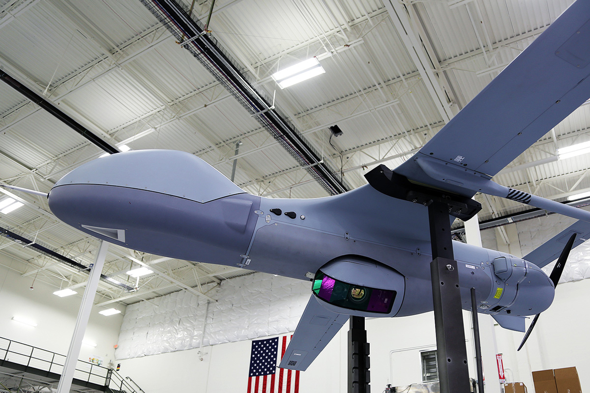
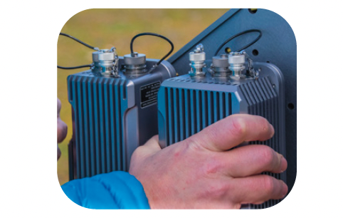
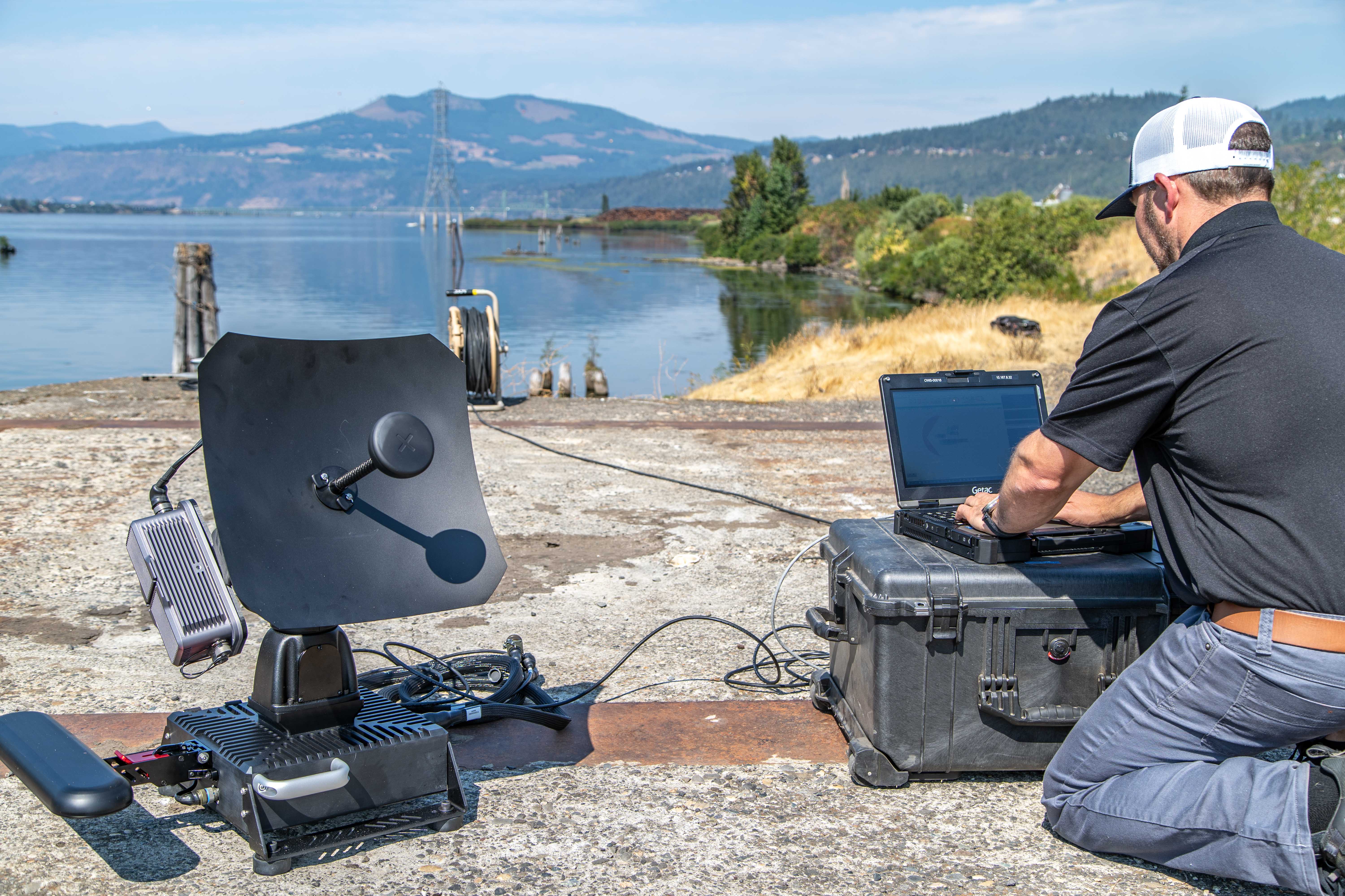
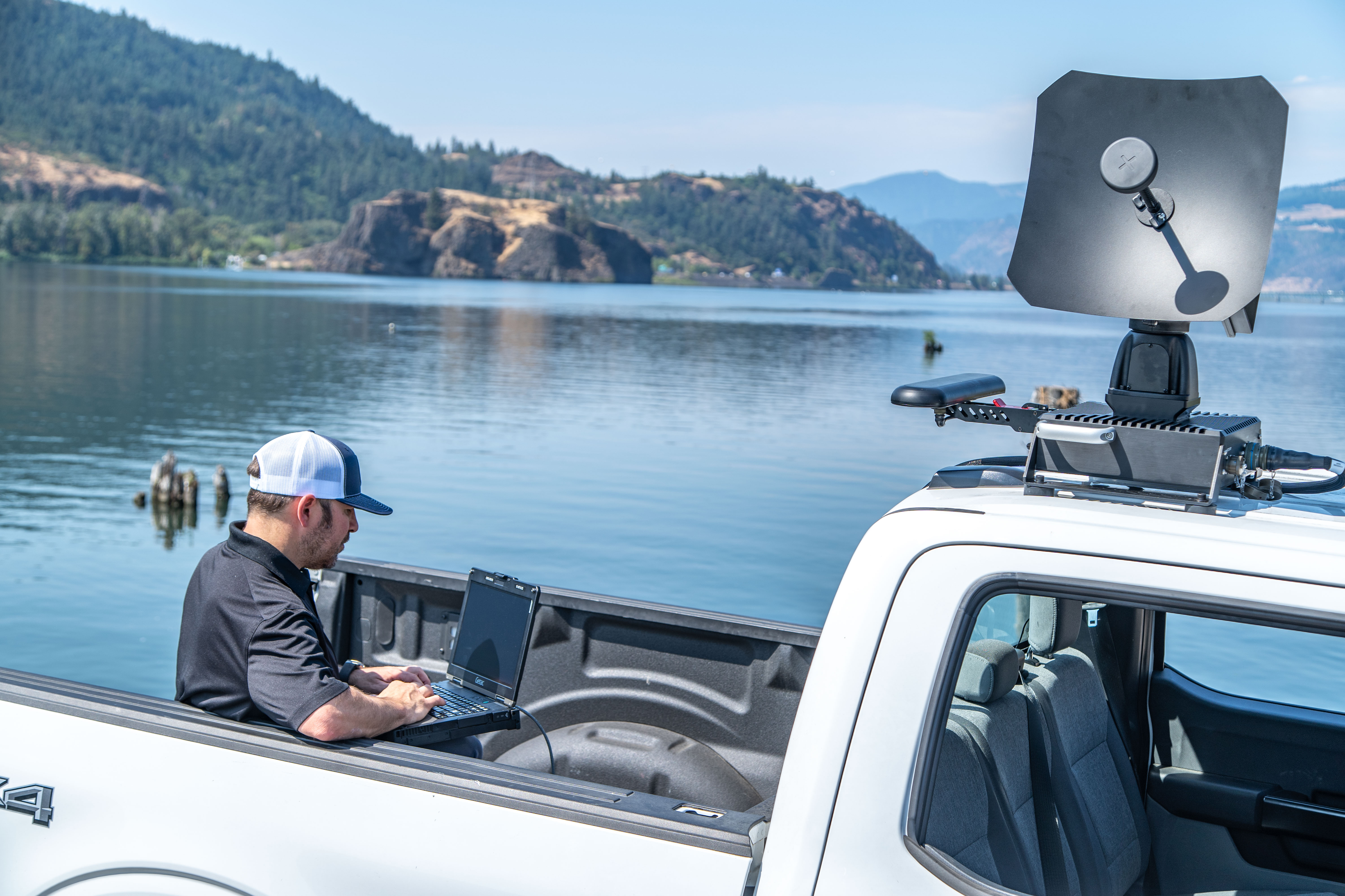
Small Tactical Ground Control Station
Command and control multiple uncrewed systems from a single, small, expeditionary workstation.
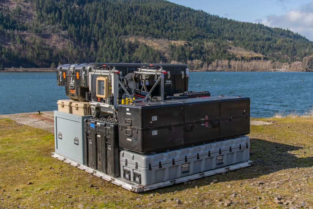
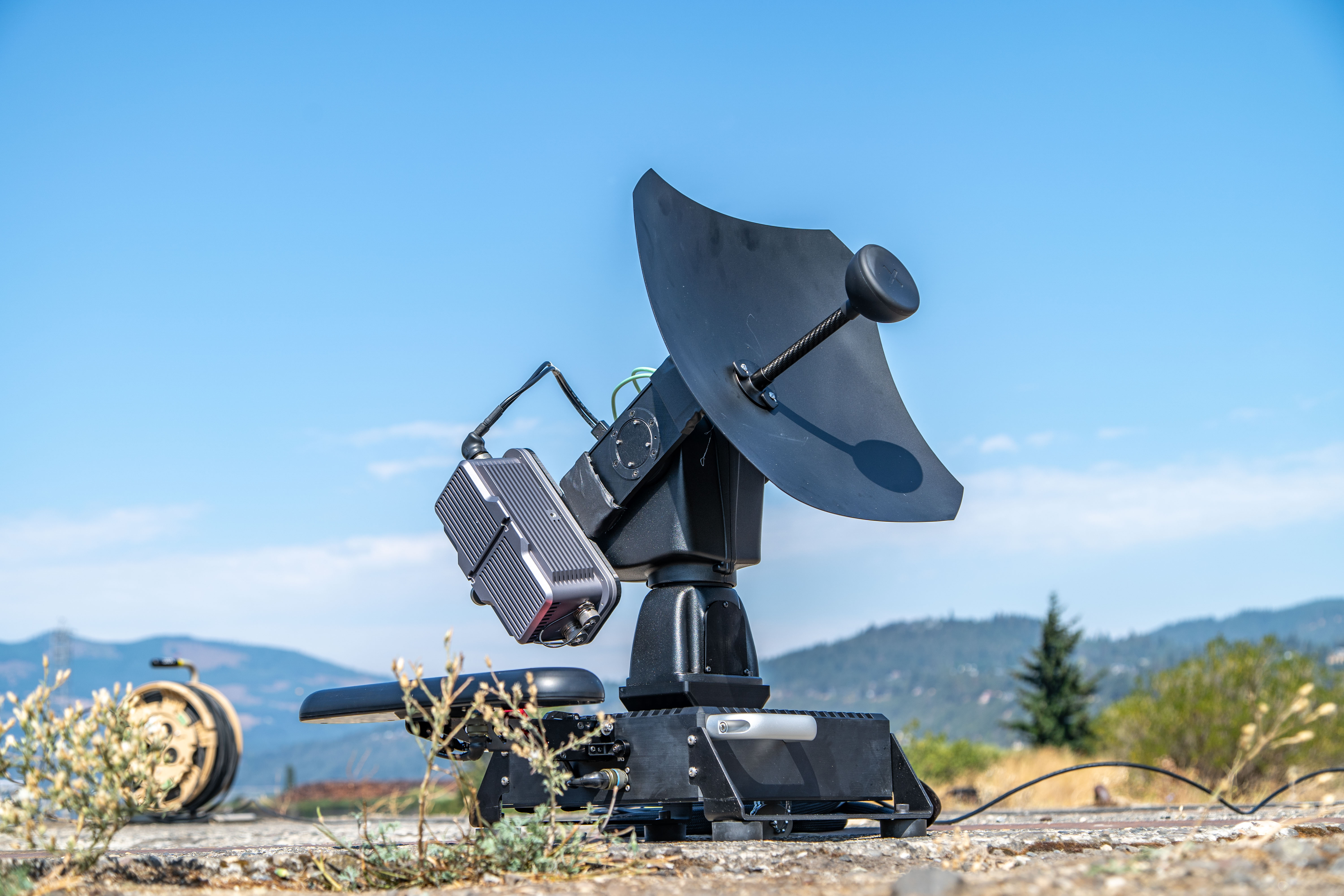
Small footprint
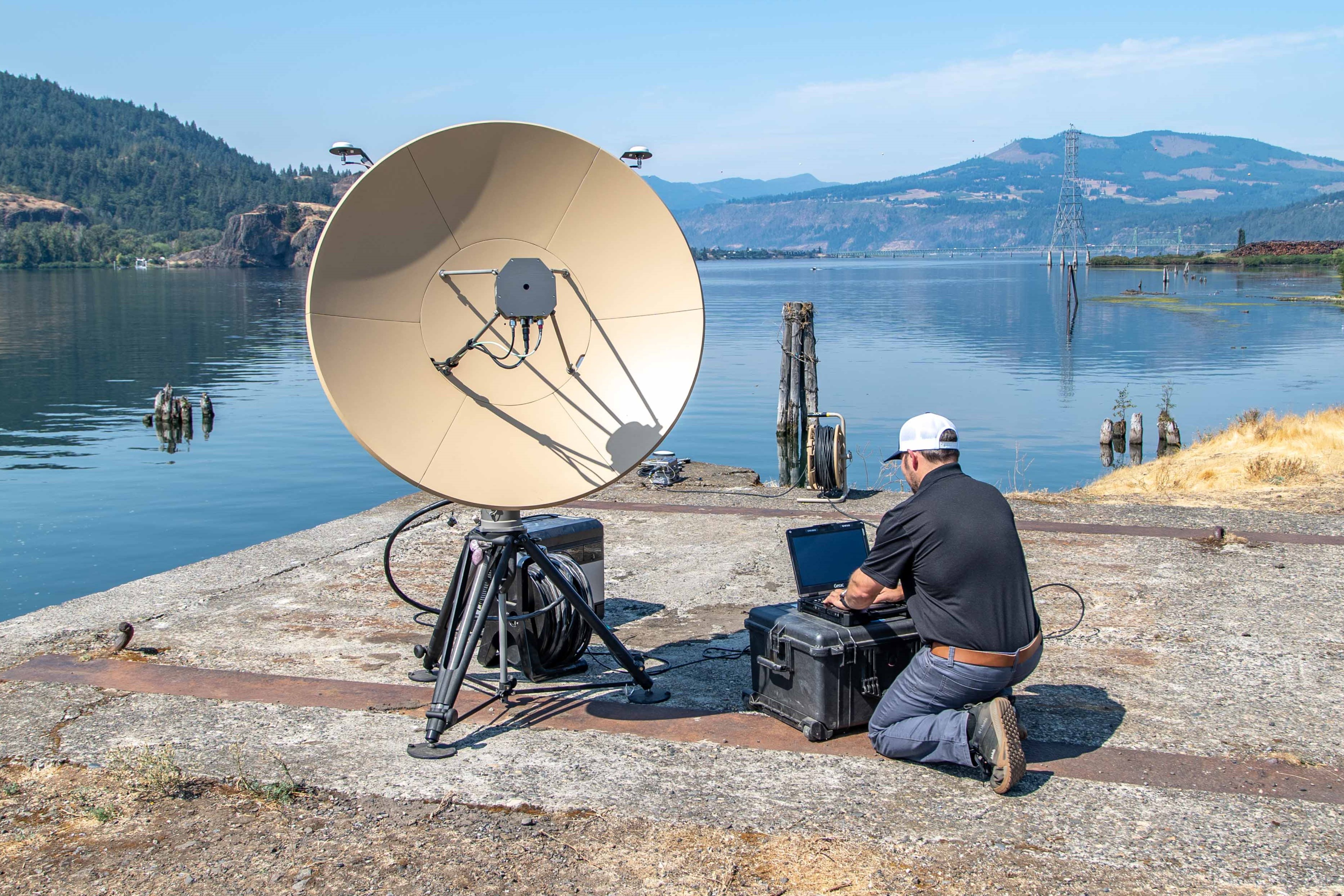
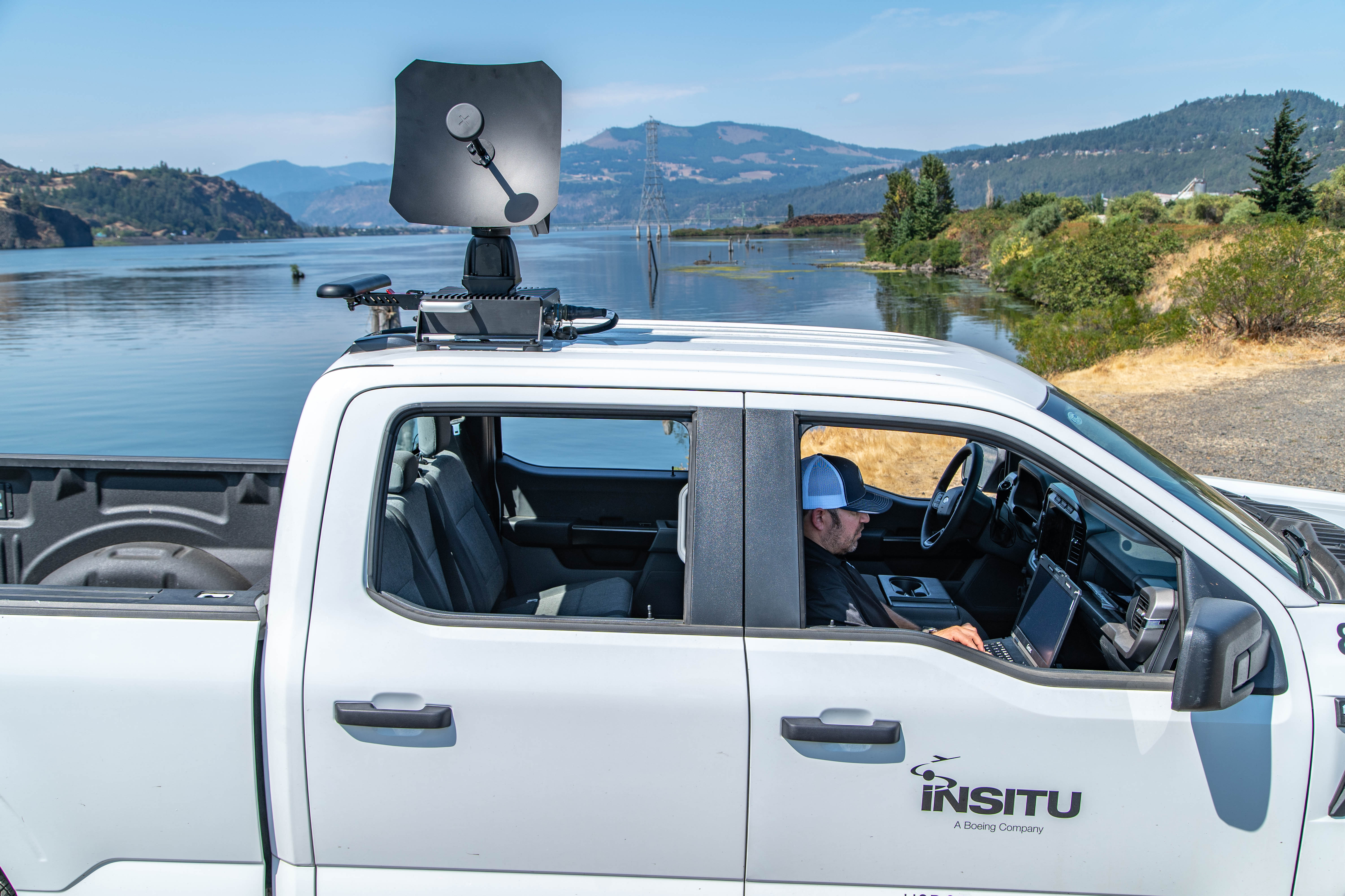
Operate from a laptop with short, medium, and long-range options including vehicle- and tripod-mounted antennas.
Open Systems Design
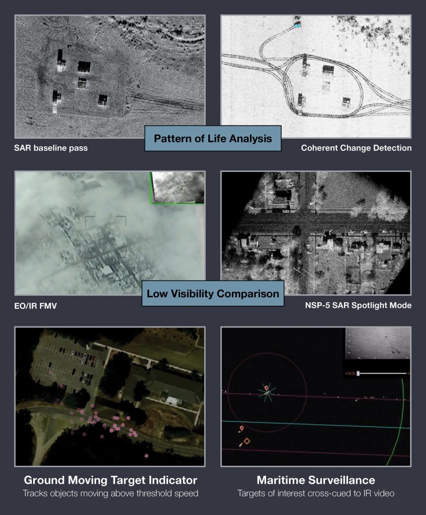
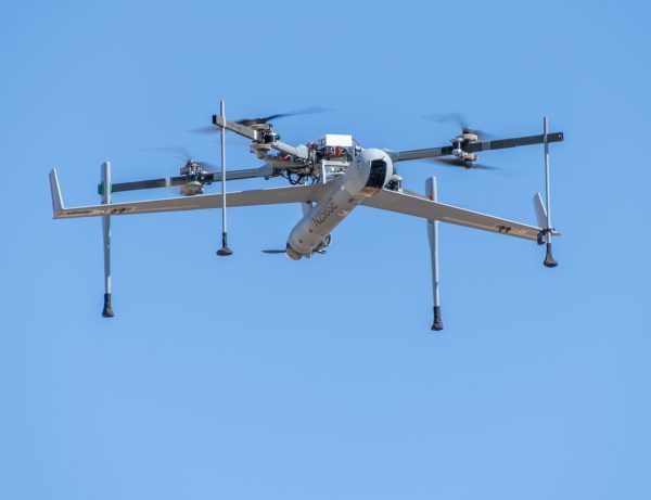
Open architecture and fully supported Software Development Kit (SDK). Controls all Insitu platforms as well as non-Insitu UxS.
Expeditionary
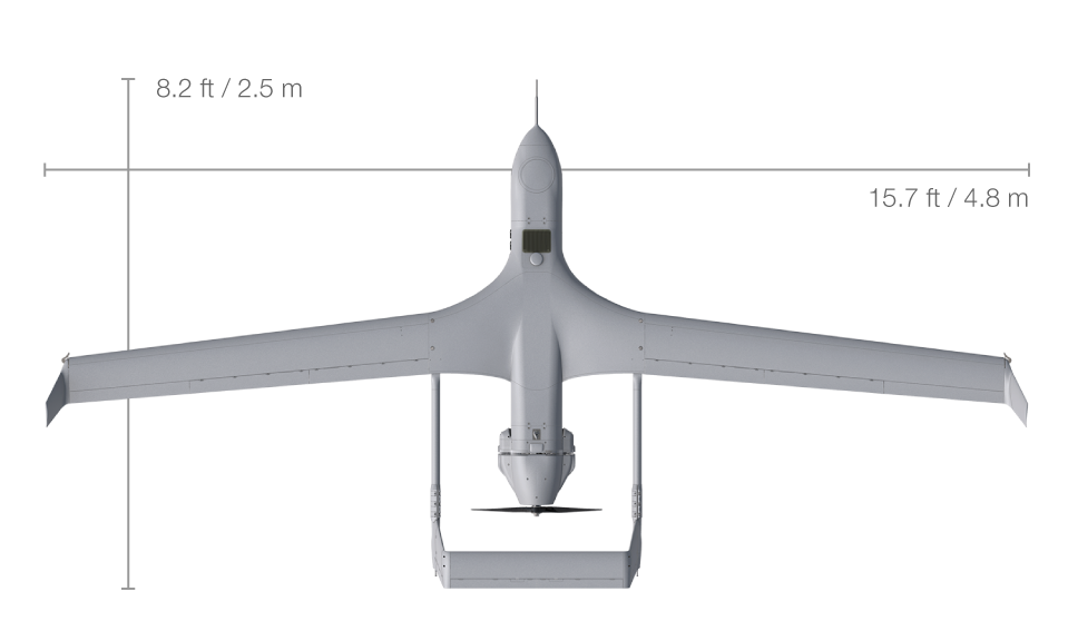
Small and lightweight, requiring only a 1-person carry. Pack in and pack out quickly, and fly from stationary or moving platforms.
Get all the technical specs.
Specifications
Software/Hardware Support
- I-MUSE, INEXA (fmr. ICOMC2) / INEXA 9.x
- Insitu & STANAG 4586 compliant aircraft/UxS.
Operational Range Configurations
- Short-range antenna: >16 km (8.5 nm)
- Medium-range antenna: 78 km (42 nm)
- Long-range antenna: 130 km (70 nm)
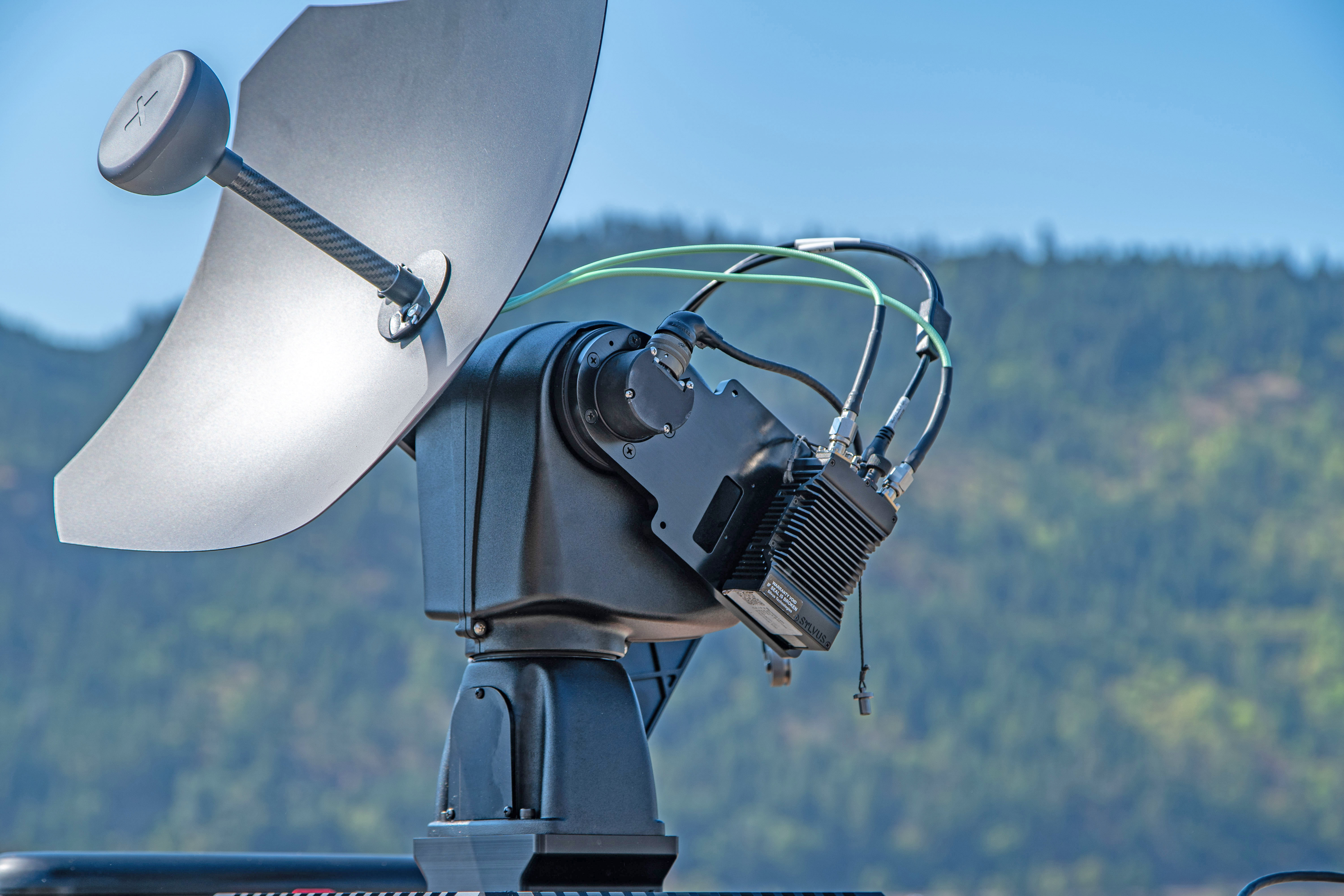
Radio Options
- Silvus StreamCaster
Frequency Bands
- S-band, C-band, L-band
- SATCOM PLEO
Industry-Standard Protocols and Hardware
- STANAG 4586, 4609, 3607
- IEEE 802.3ab (1000BASE-T Ethernet)
- Motion Imagery Standards Board (MISB)
- Cursor on Target (CoT)
Power and Comms
- Power input: 20-35V DC
- Max RF output: 10 W
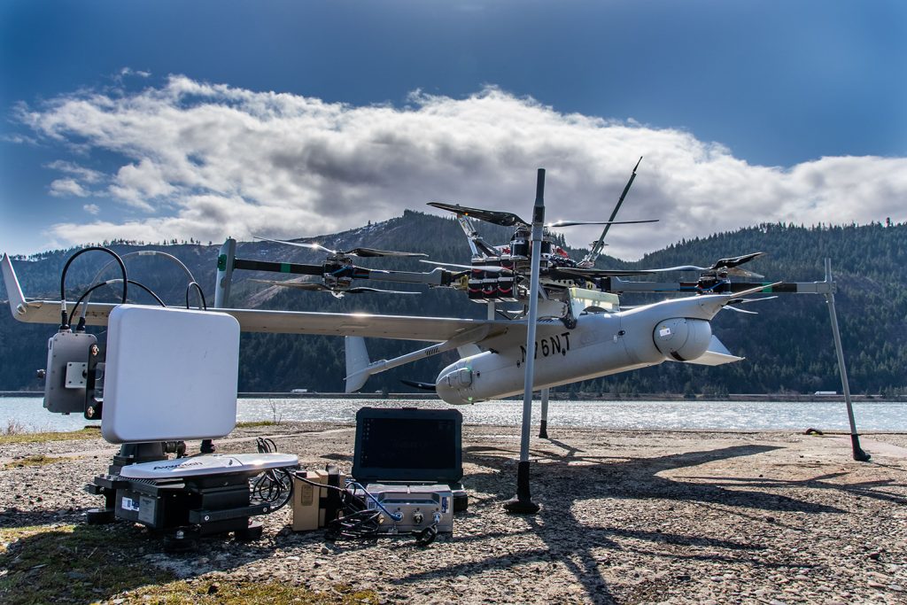
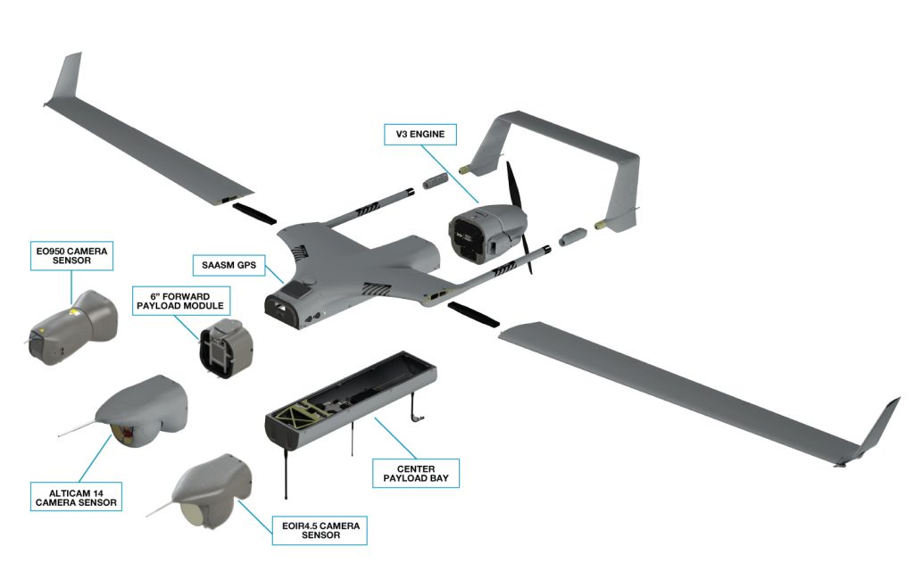
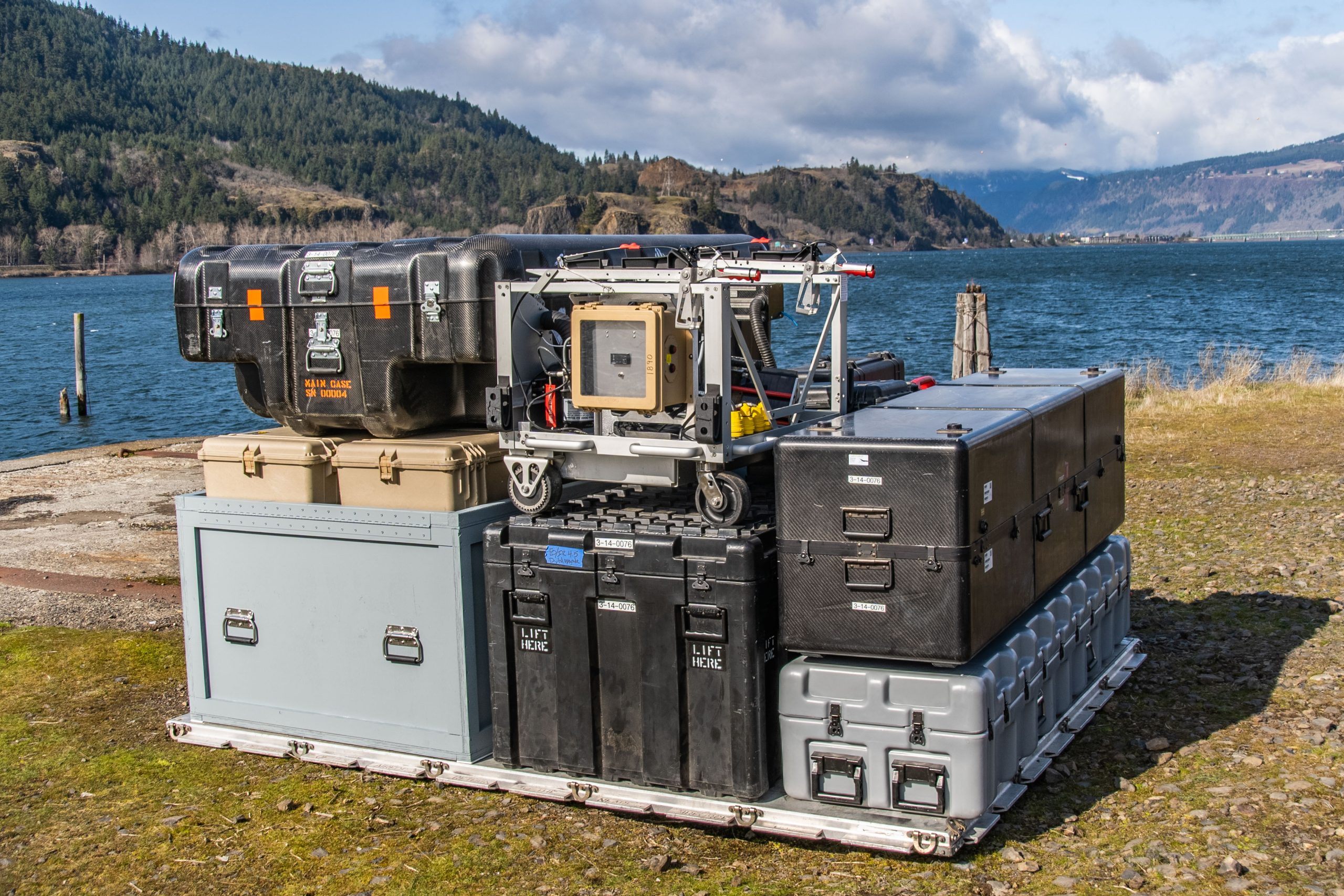
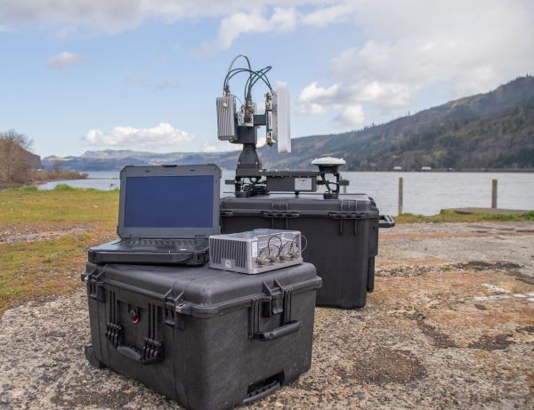
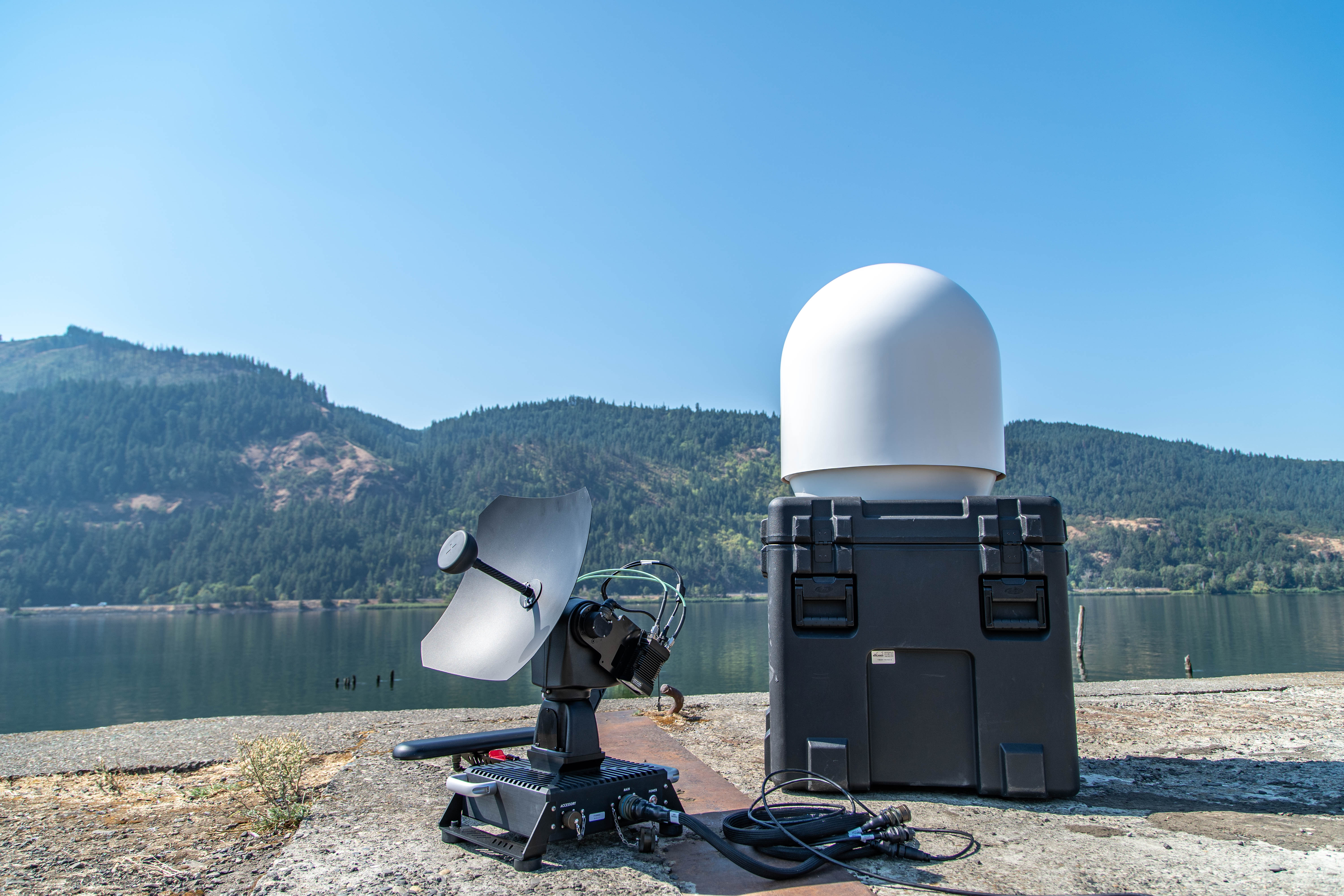
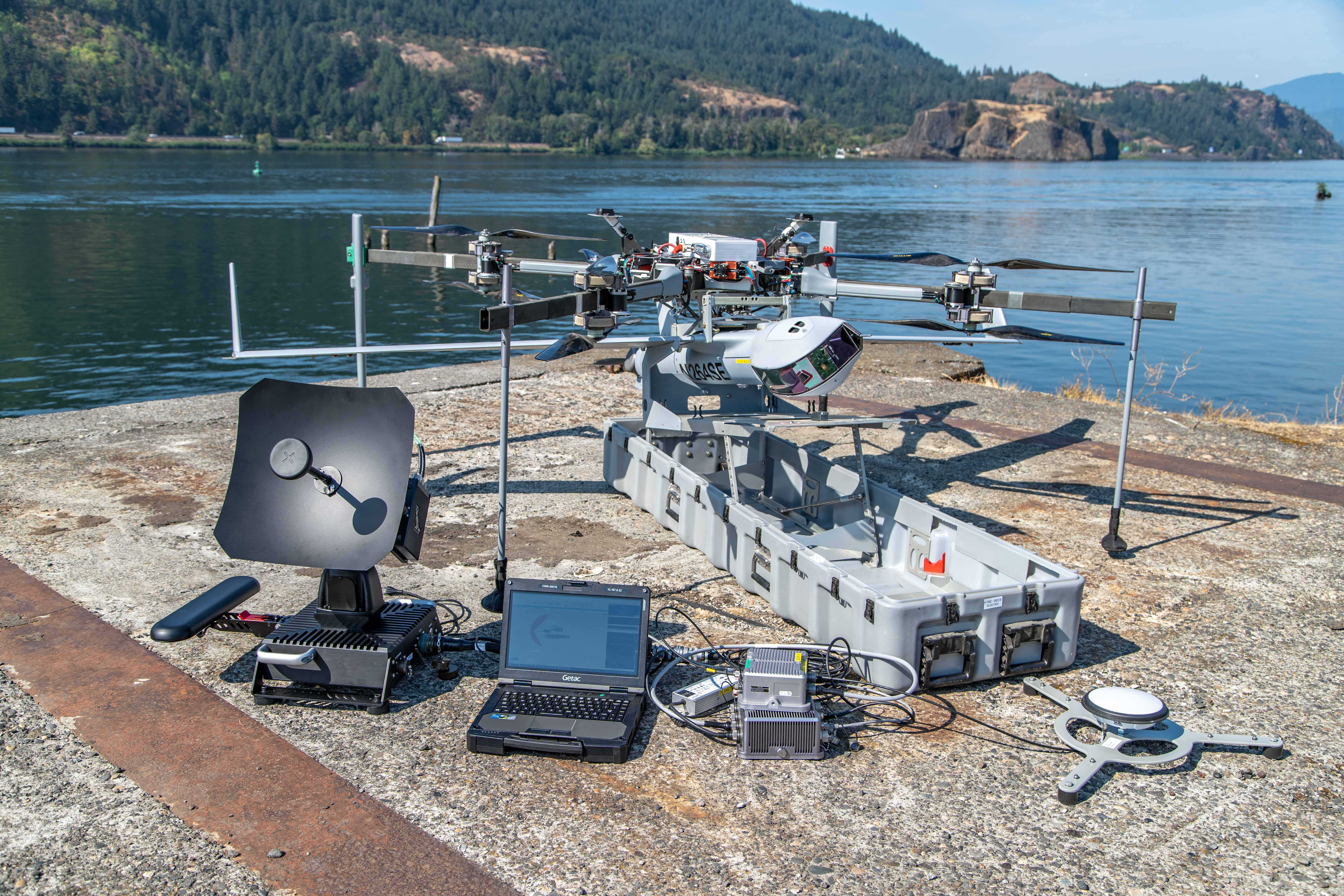
Base Components
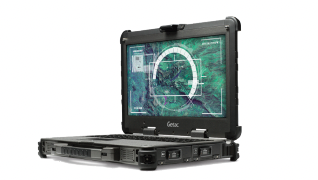
Operator Laptop
Scalable end-user device. Single operator for multiple aircraft.
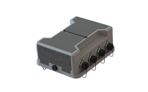
Device Control
Central hub for network and power distribution.
Fiber Extension
Optional Kit. Up to 500m between devices.
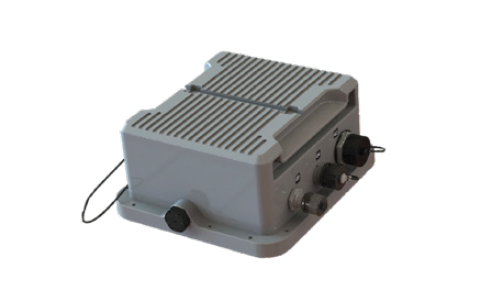
GPS Enclosure
GNSS and SAASM.
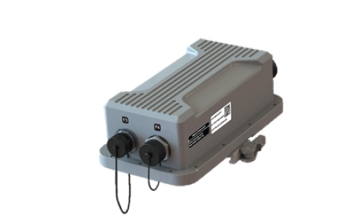
Radio Handhelds
Multiple options available.
Compact Design
GCS components (radio, computing, networking, power) are physically small for ease of use, transport, and compact installation spaces.
Modular Architecture
Component configurations can be tailored for specific applications, enabling easy and rapid integration of new hardware like radios, GPS modules, antennas, and computers.
Scalable Operations
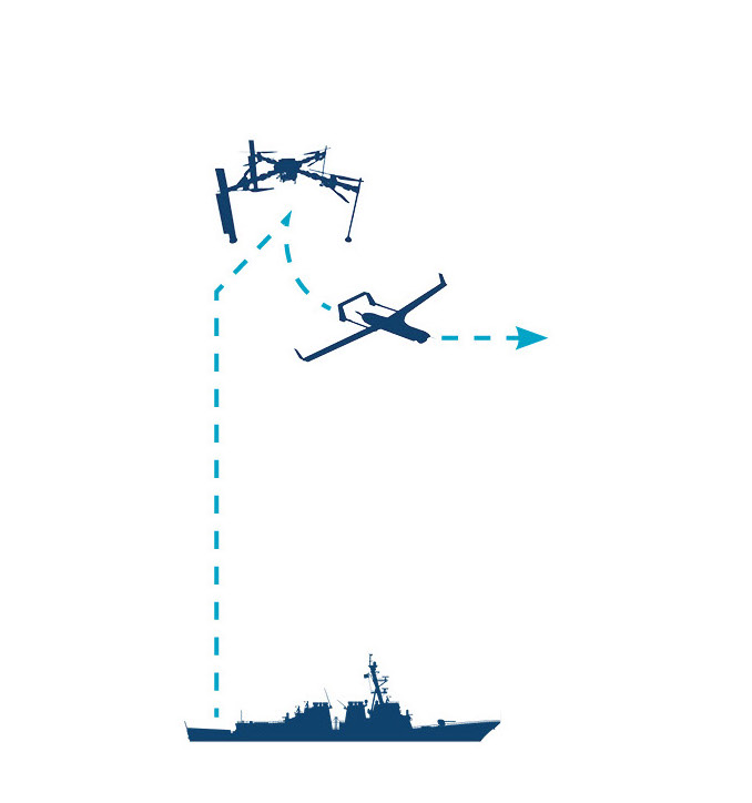
Adjustable from a minimal single-laptop system to a full multi-computer peripheral set including networked payload data routing and a large backup power supply.
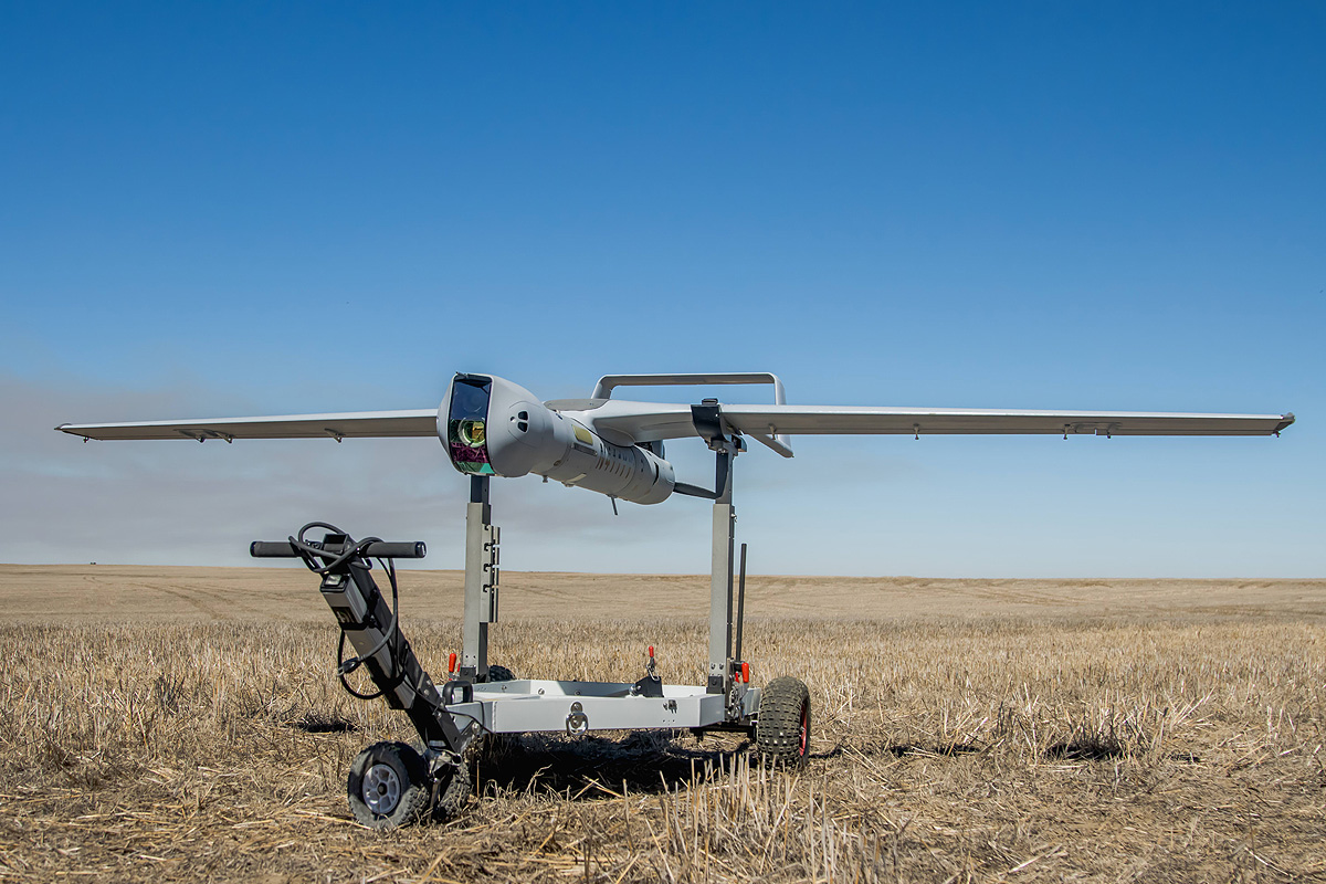
Flexible Deployment
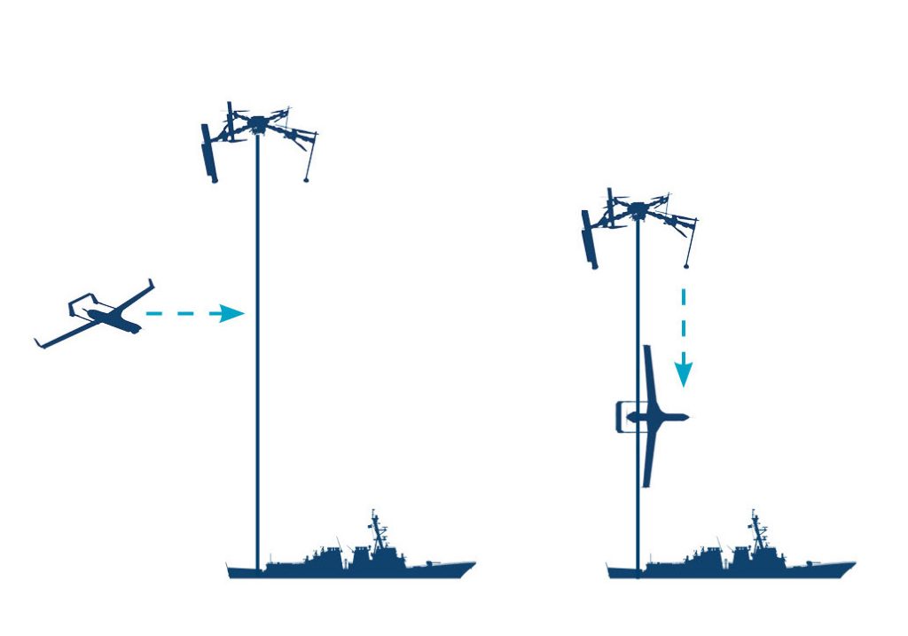
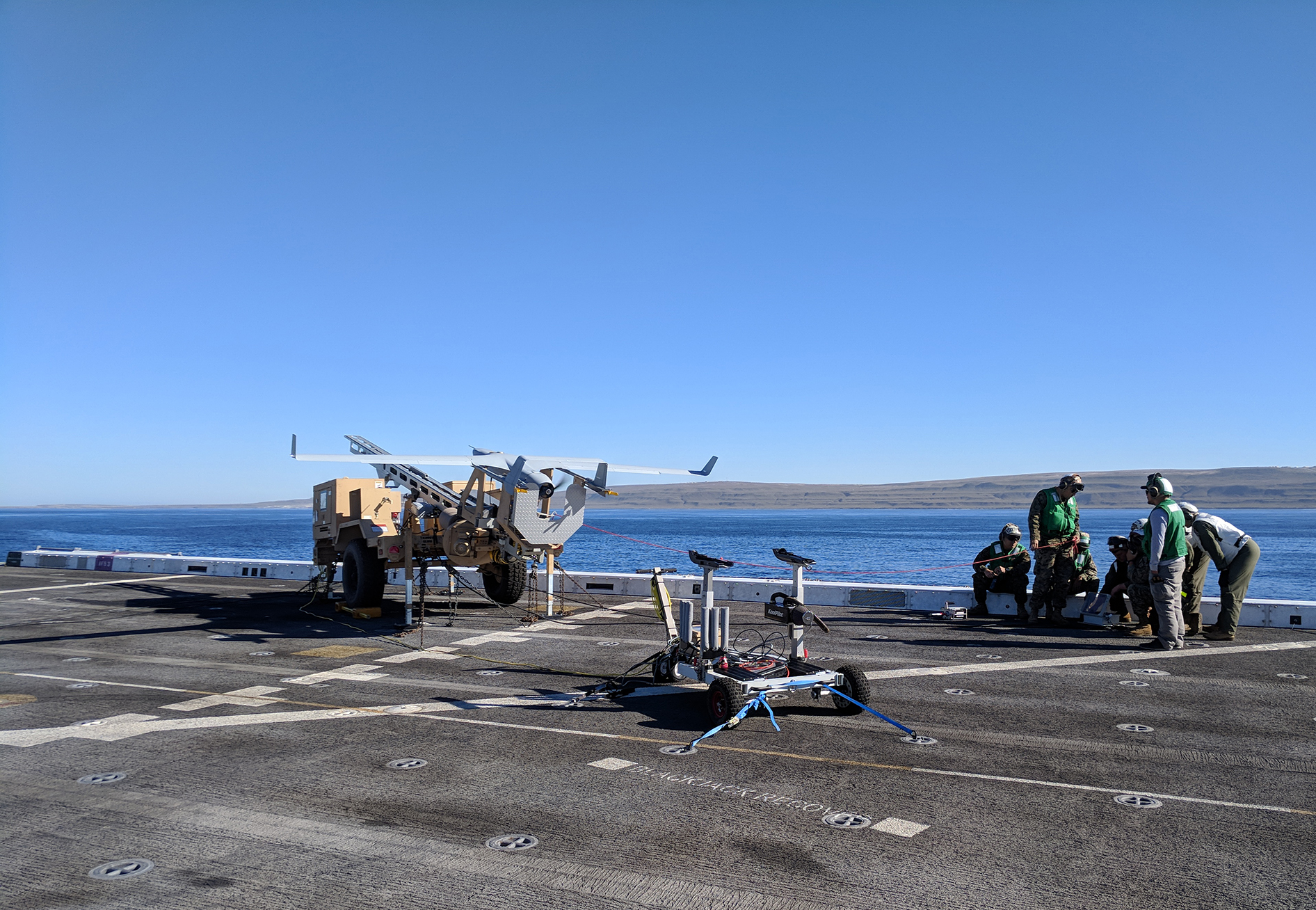
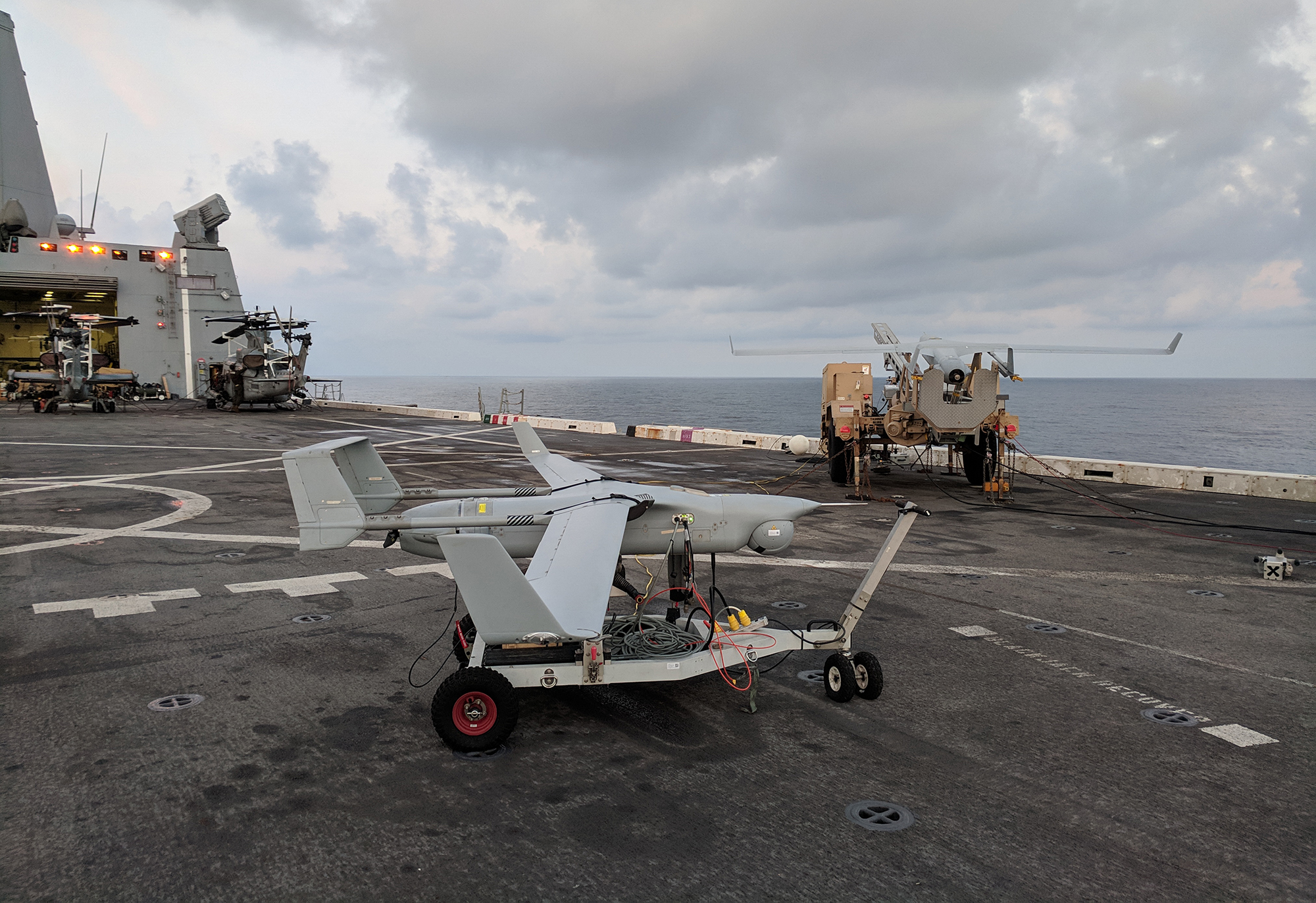
Ranges from lightweight backpackable options to vehicle-mounted and one-person-carry mid-range setups — or long range solutions with expeditionary tripods or permanent marinized installations. Supports line of sight and SATCOM over-the-horizon operations.
Advanced Radios
Features MANET radios using Silvus StreamCaster architecture for resilient communication in a unitary data link configuration. Architecture supports integration of alternate radios.
Rugged Durability
Operates in extreme environments (-32°C to +49°C), glove-compatible, and resistant to harsh electromagnetic interference (EMI).
System Compatibility
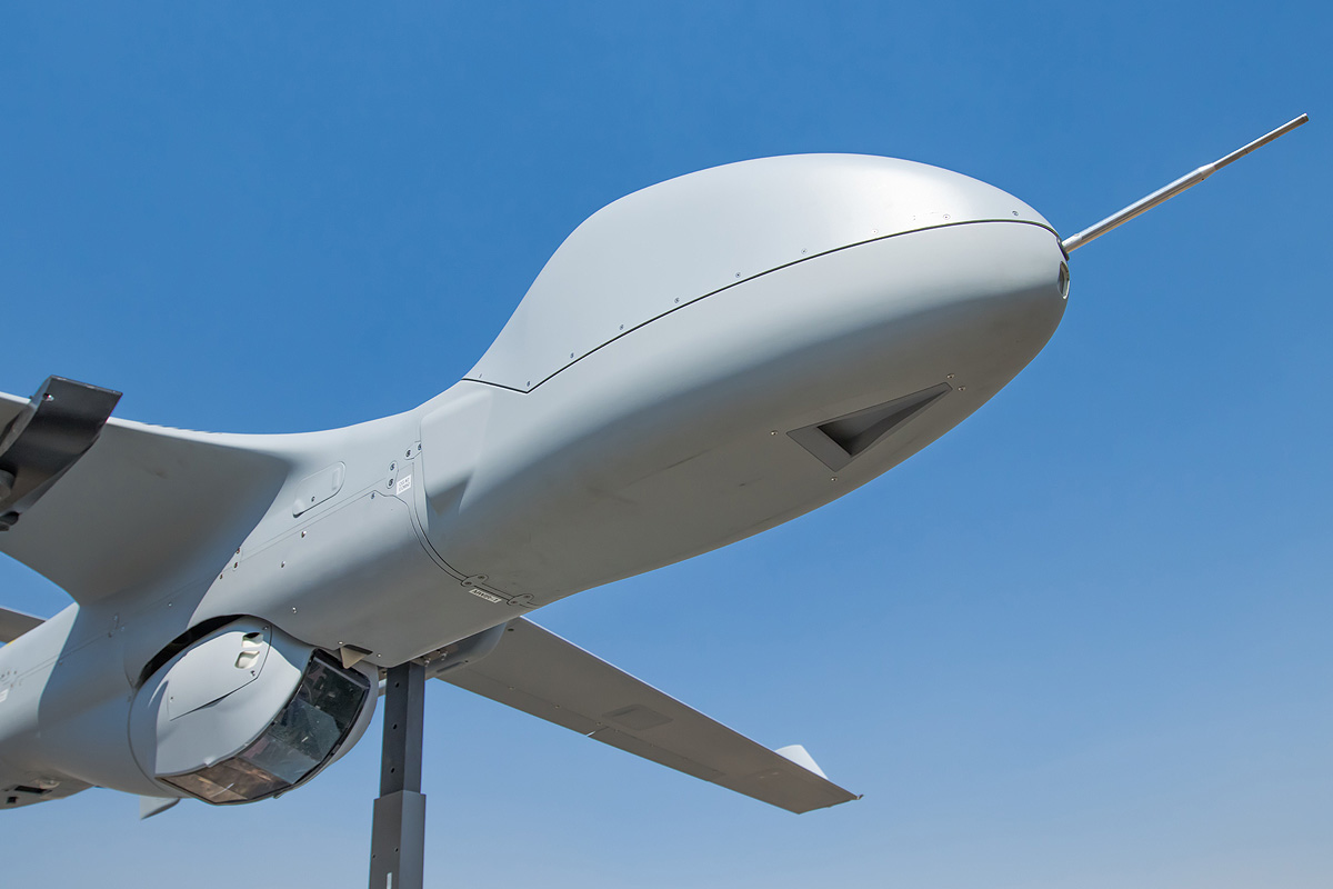
Fully supports I-MUSE, INEXA, and other STANAG 4586 compliant uncrewed platforms, ensuring cross-compatibility with both legacy and next-gen UxS technology.
Operational Efficiency
Enables launching and operating multiple UxS from a single hub, with seamless transfer to mobile spoke using the same hardware.
Ready to learn more?
Related Systems
cGCS Pairs with every Insitu system.
In the News
Related Stories
Insitu Introduces PLEO SATCOM for ScanEagle UAS
These enhancements position ScanEagle as the premier choice for reliable over-the-horizon Beyond Line of Sight (BLOS) Intelligence, Surveillance, Reconnaissance and Targeting (ISR-T) missions
Read More »Insitu Launches Autonomy Centre of Excellence in Oxford, UK
Insitu announced the establishment of its new Autonomy Centre of Excellence in Oxford, UK, solidifying the company’s long-standing commitment to advancing practical autonomy and artificial intelligence (AI) solutions critical to the future of global defence.
Read More »Soldiers put new drone through its paces in exercise near Rockhampton
The Australian Army has been training new operators and expanding the role of its newest tactical uncrewed aerial system (TUAS)
Read More »