Automated detection with high-resolution identification
Detect and identify maritime targets over vast areas of water with ViDAR (Visual Detection and Ranging)
Search and surveillance
Cover wide areas at unprecedented Size, Weight, and Power (SWaP)
Detection, cataloguing, and cueing
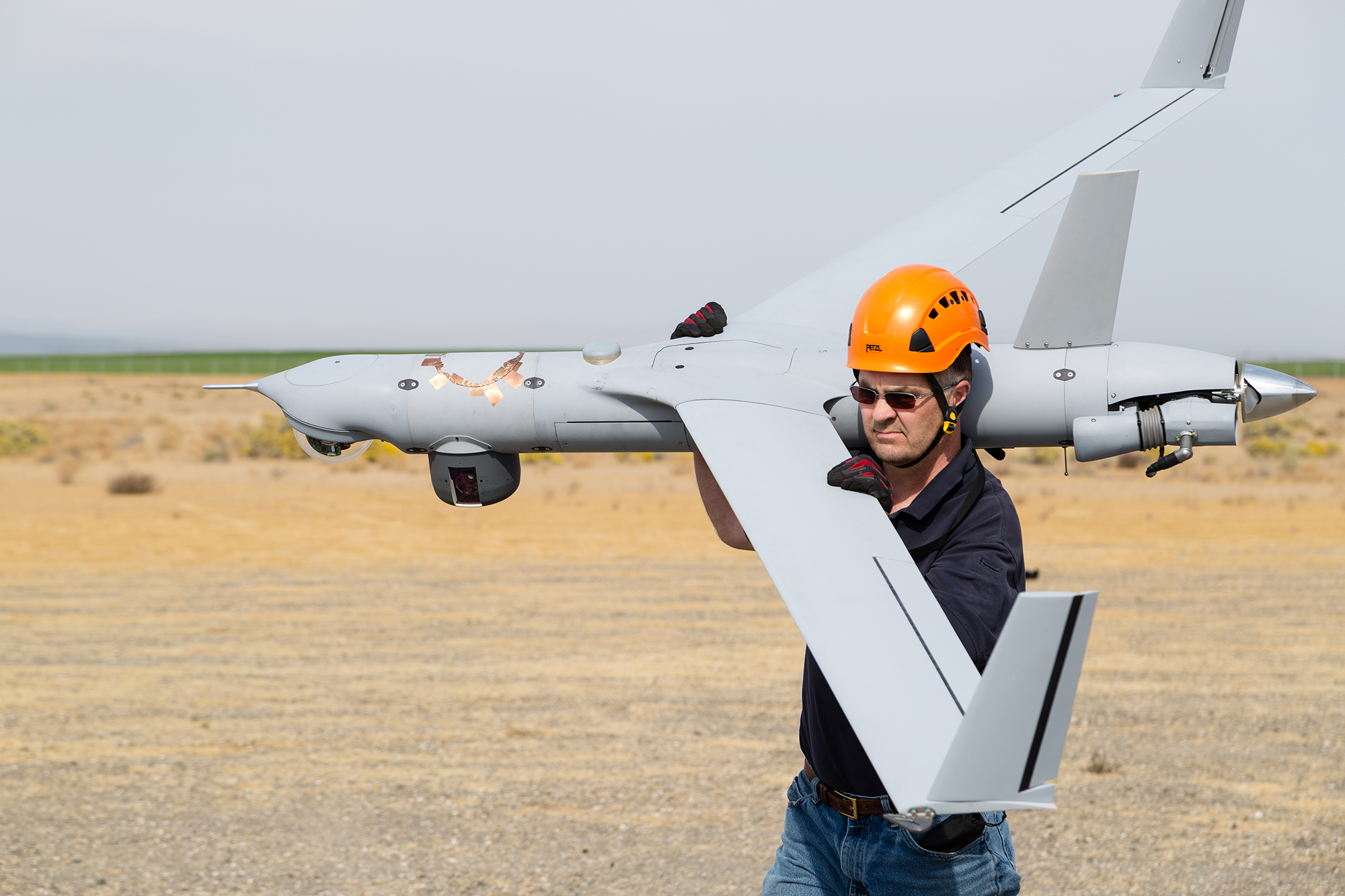
ViDAR pairs a scanning search camera with a high-resolution nose turret
Positive identification
Equipped with modular payload sensor suite and onboard image processing algorithms to automatically identify maritime targets
Get the full specs and details.
Specifications
ViDAR Turret
- Scan Type: Five Increment Step Stare
- Angular Coverage: 180° *FOR limits and FOV scan rate are configurable to support mission flexibility
EO Turret
- Wavelength: 400-900 nm
- Pixels: 1280 x 720
- Tilt: 30° Up, 90° Down
- Pan: 360° (Endless)
- Slew Rate: 50°/Sec
- Performance @ 1 Hz and 2 Hz: 59 dB attenuation
- Power Supply Range: 12.6–14.4 VDC, 16 w Nominal, 17.5 w Peak
Target and Distance
Examples of Demonstrated Capability
- Person in Water (PIW): >1.7 NM
- Six-Person Raft: >3.5 NM
- 20’ Fast Boat: >9.1 NM
- 40’ Fast Boat: >17.5 NM
- Single Deck Car Ferry: >30 NM
System Features
Using the ViDAR modular payload, Insitu UAS can search an approximately 13,360 NM area in 12 hours.
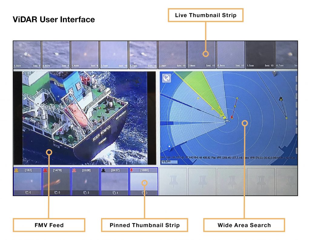
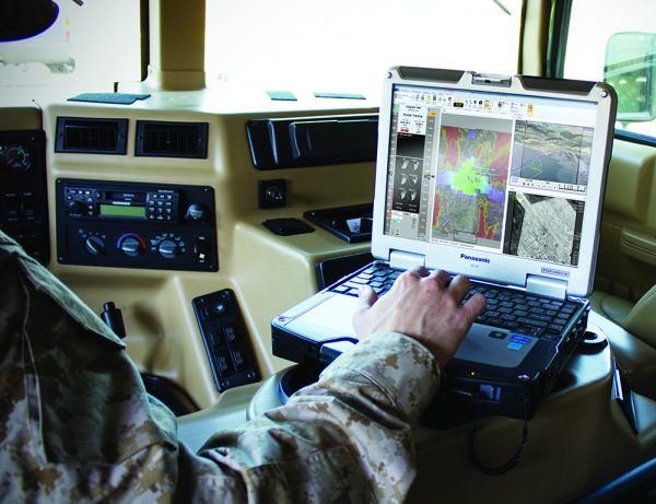
Quick, Actionable Intelligence
Distinguishes between water and objects, making it easier for the operator to rapidly locate, track, and catalog multiple objects of interest for map location overlays, tracking and target interrogation.
Increase Performance
Identified targets are autonomously ranked to increase human operator performance. Paired with unlimited multi-target tracking and geo-location, and cross-correlation with AIS.
Enhanced Idenfitifcation
Pairing automated target detection with high-resolution identification empowers operators to find objects of interest that other search methods often miss, such as low-profile vessels. Proven to detect 98% of targets ranging from a person in the water to large ships.
Scan and Catalog
Catalog targets for map location overlays, tracking, and target interrogation.
Ready to learn more?
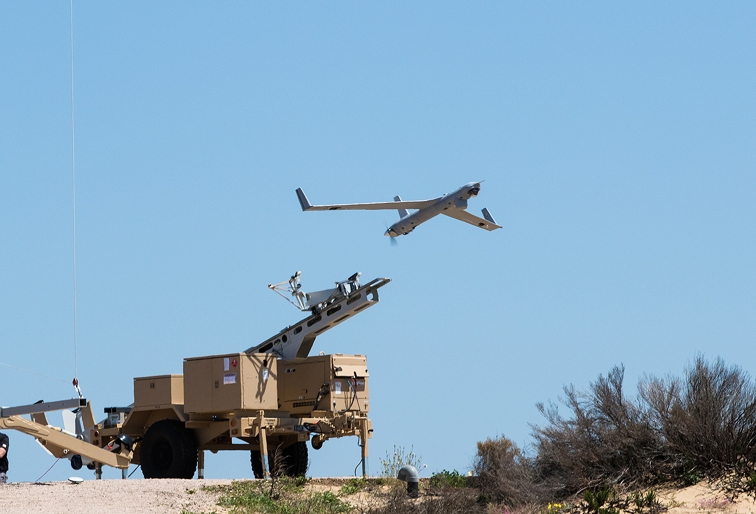
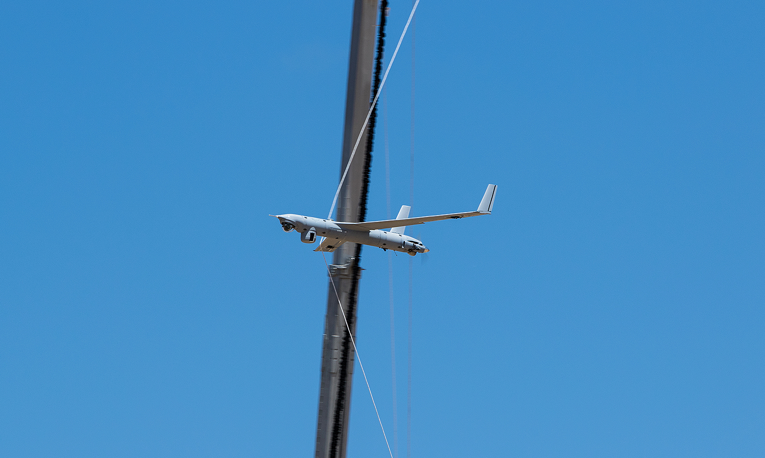
Related Systems
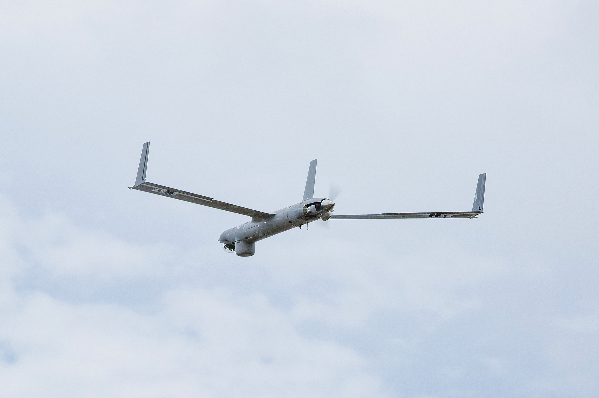
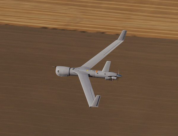
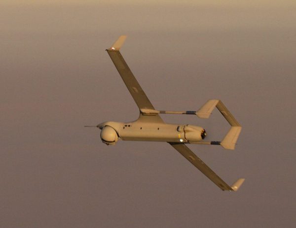
ViDAR is available on these Insitu platforms.
In the News
Related Stories
Manned/Unmanned teaming made safer with Naval Aviation’s new avoidance tech
Air vehicle operators from Unmanned Air Test and Evaluation Squadron (UX) 24 flew two RQ-21 Blackjacks toward each other while Guardian operators monitored screens…
Read More »Brazilian Navy makes first ScanEagle drone launch
Remotely piloted aircraft will be used in reconnaissance, surveillance and search and rescue missions from their ships
Read More »Insitu Sets Company Record for Longest Flight at 25.5 hours with its Integrator Uncrewed Aircraft System
Insitu, A Boeing Company, recently set a company record for the longest duration flight with a 25.5-hour sortie with its Integrator Uncrewed Aircraft System (UAS) on an operational mission.
Read More »