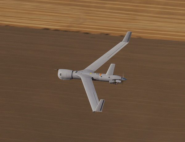
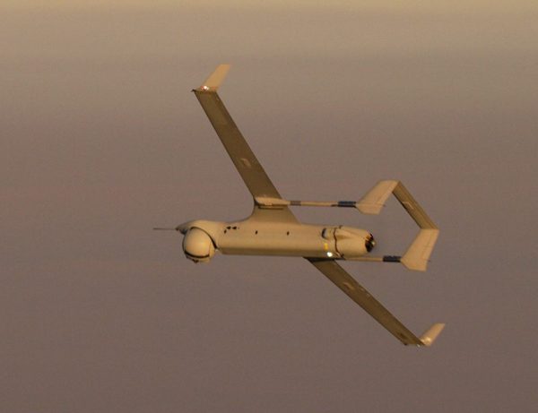
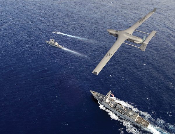
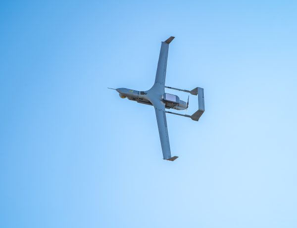
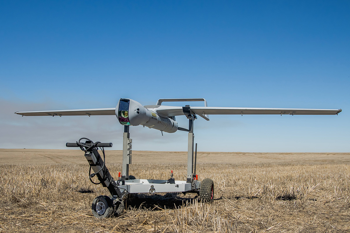
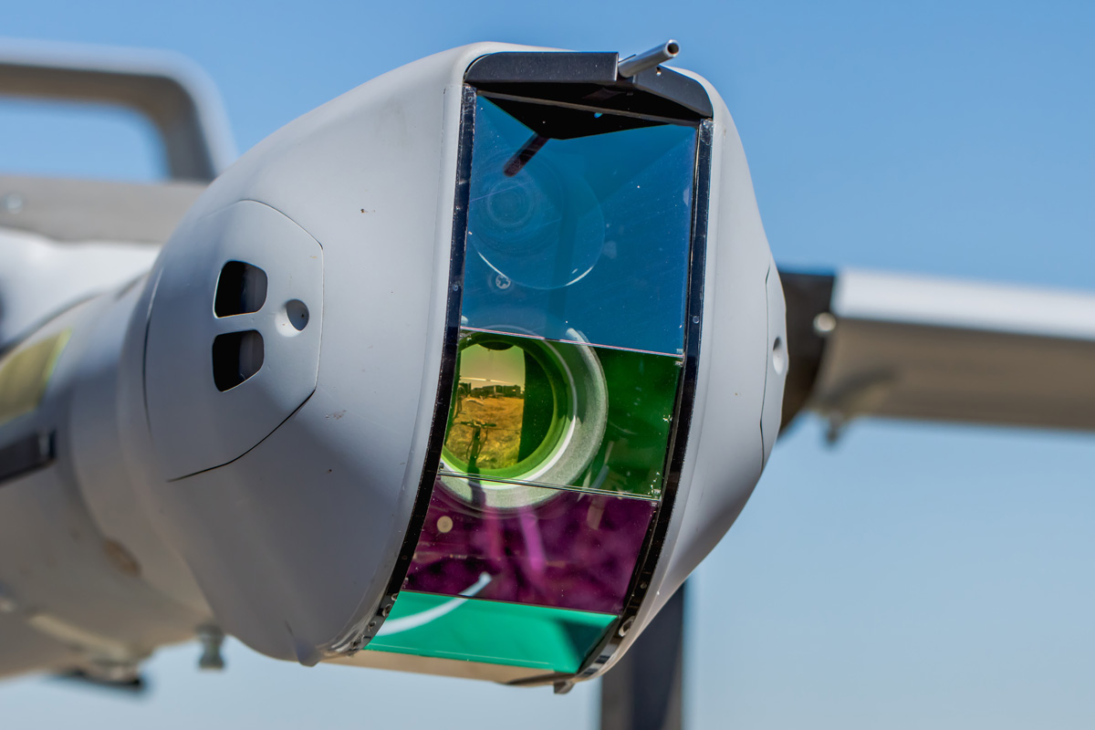
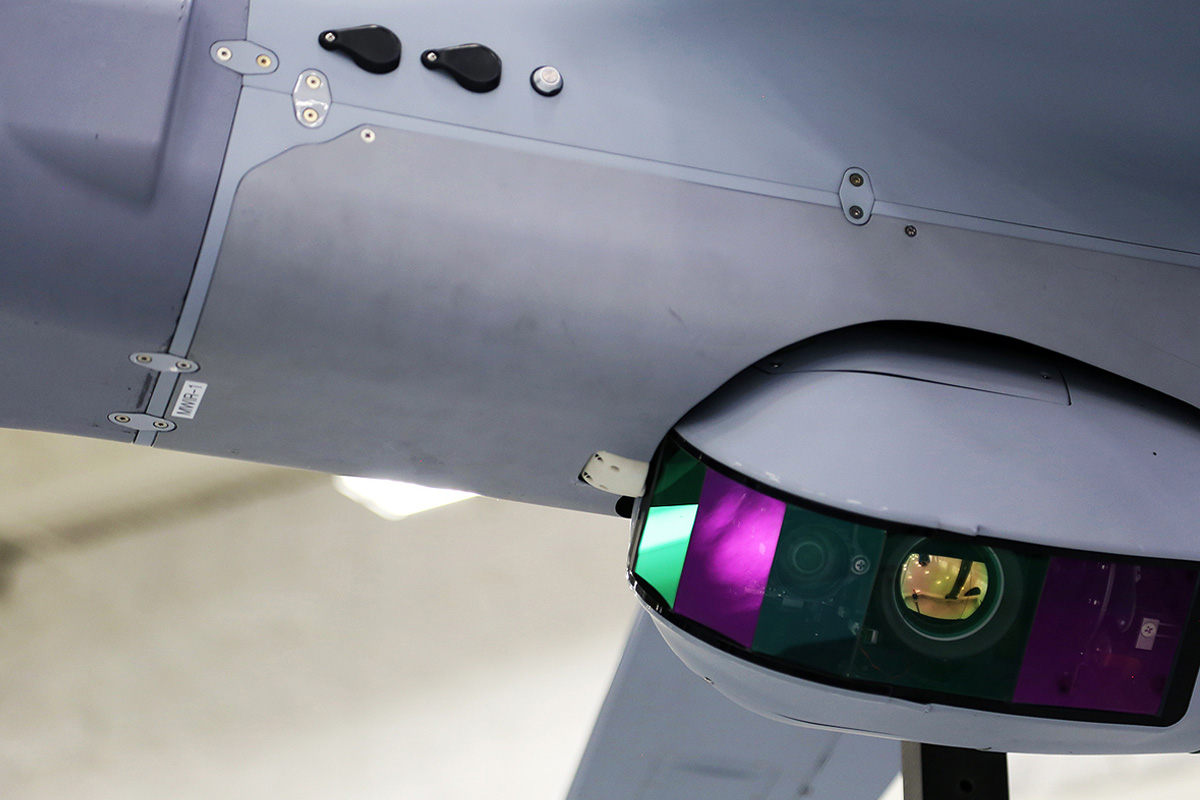
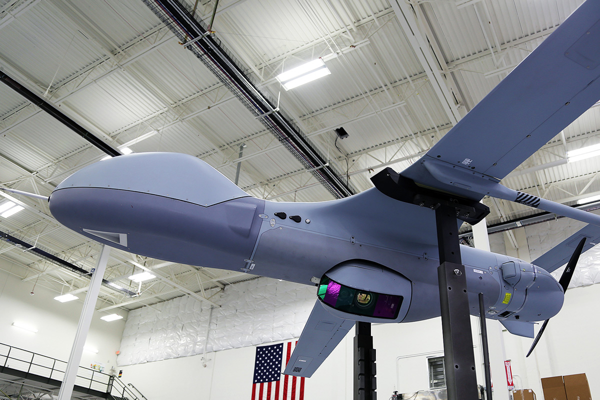
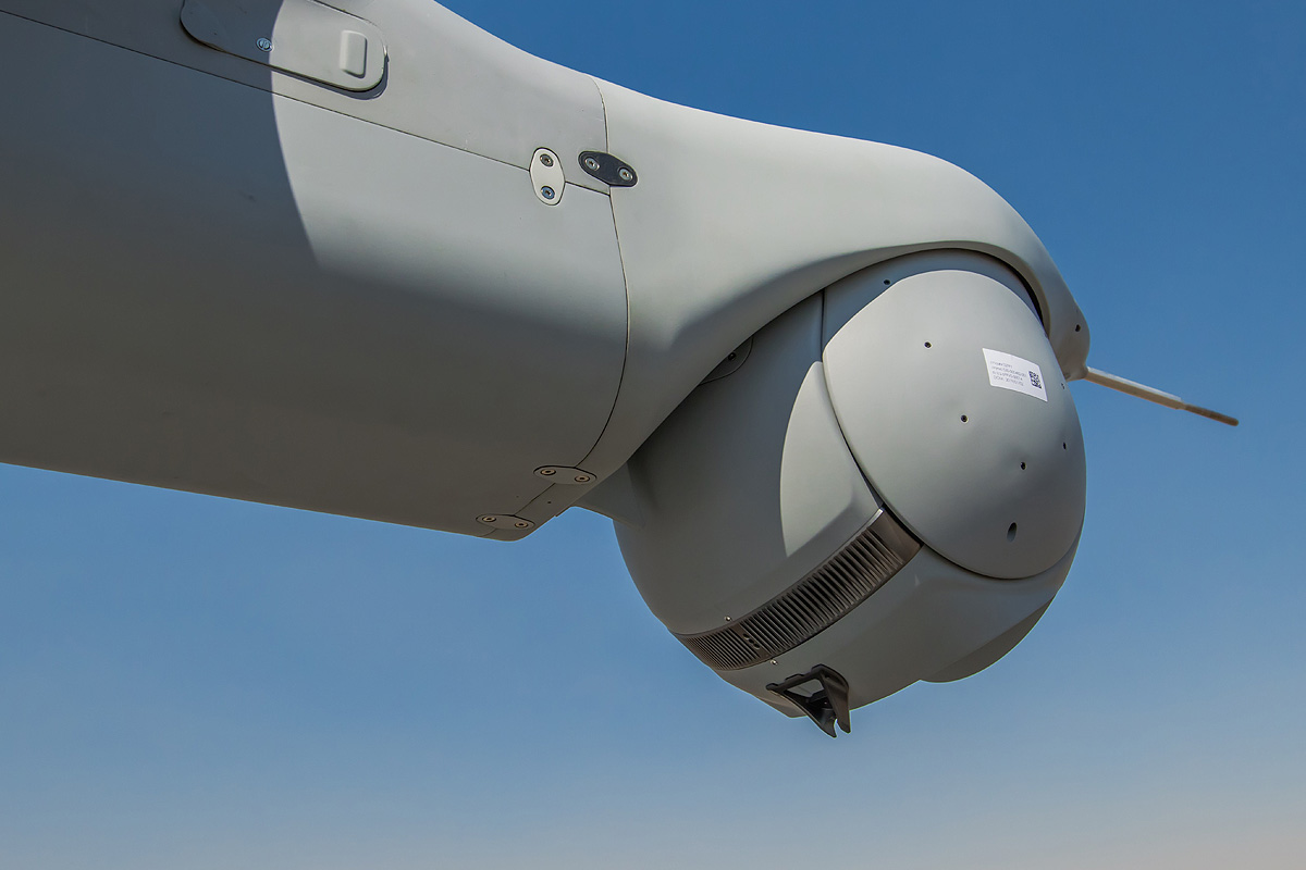
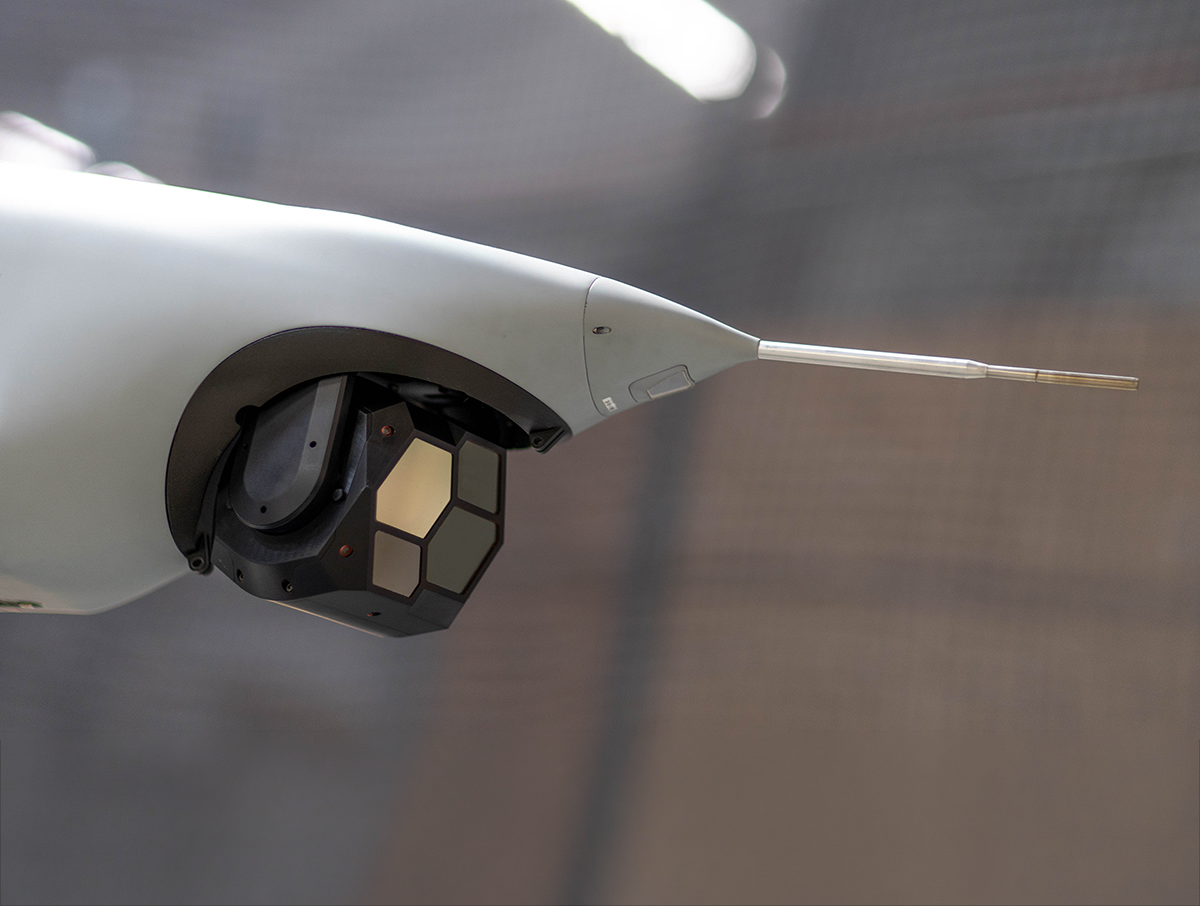
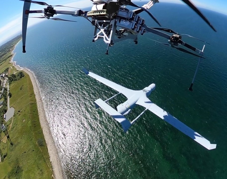
Autonomous, real-time, wide-area, optical & hyperspectral search sensor optimized for Integrator UAS
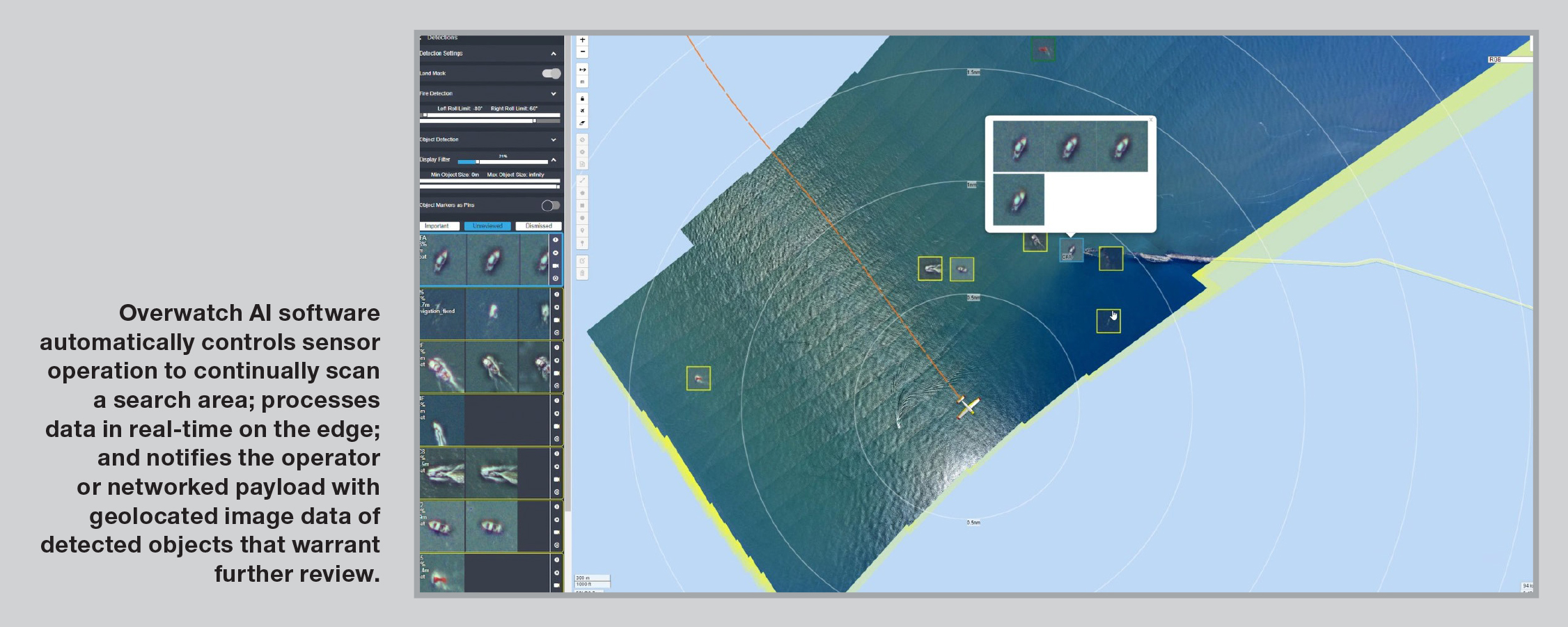
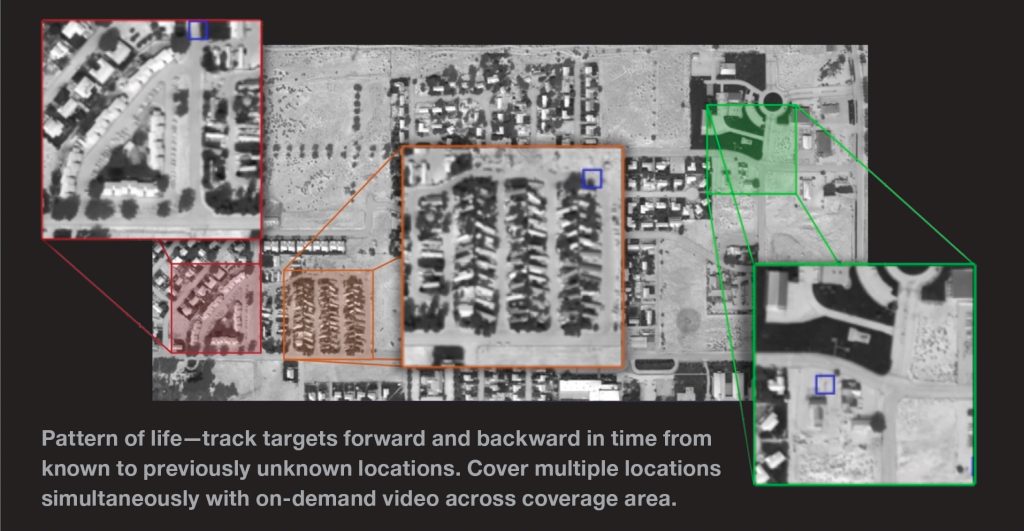
The world’s first real-time, area scan, hyperspectral sensor that provides complete domain awareness in all conditions and environments, both day and night. Artificial Intelligence operating on the edge autonomously detects, recognizes, locates and tracks all objects, providing on-demand situational awareness.
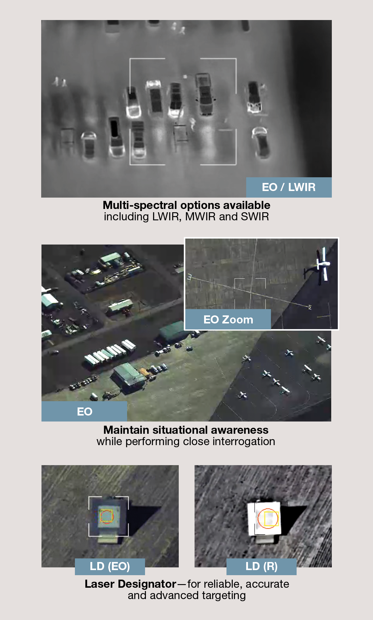
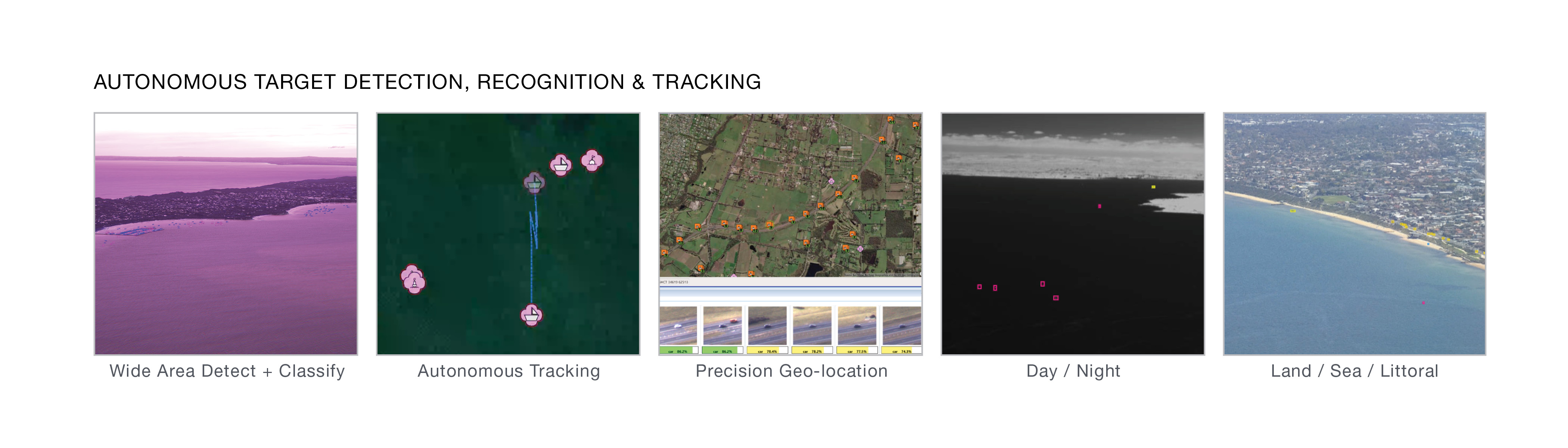
Wide-Area Detect & Classify
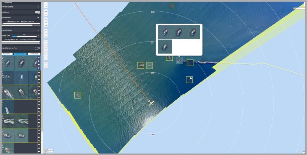
Operates in land, riverine, estuarine, littoral, coastal and open-ocean environments.
AI Operating on the Edge
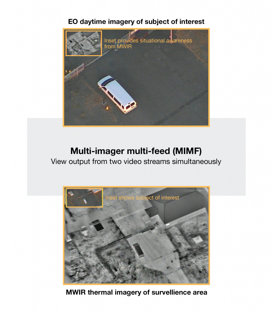
Real-time detection, recognition and tracking of all objects using onboard AI orchestration and data fusion engine, even through obscurants and whitecaps.
Autonomous Tracking
Completely autonomous spectral signature target identification – no need to process target data for false positives
Specifications
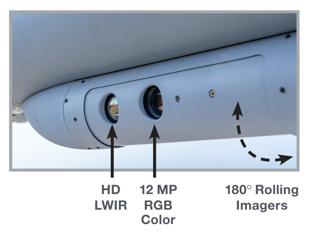
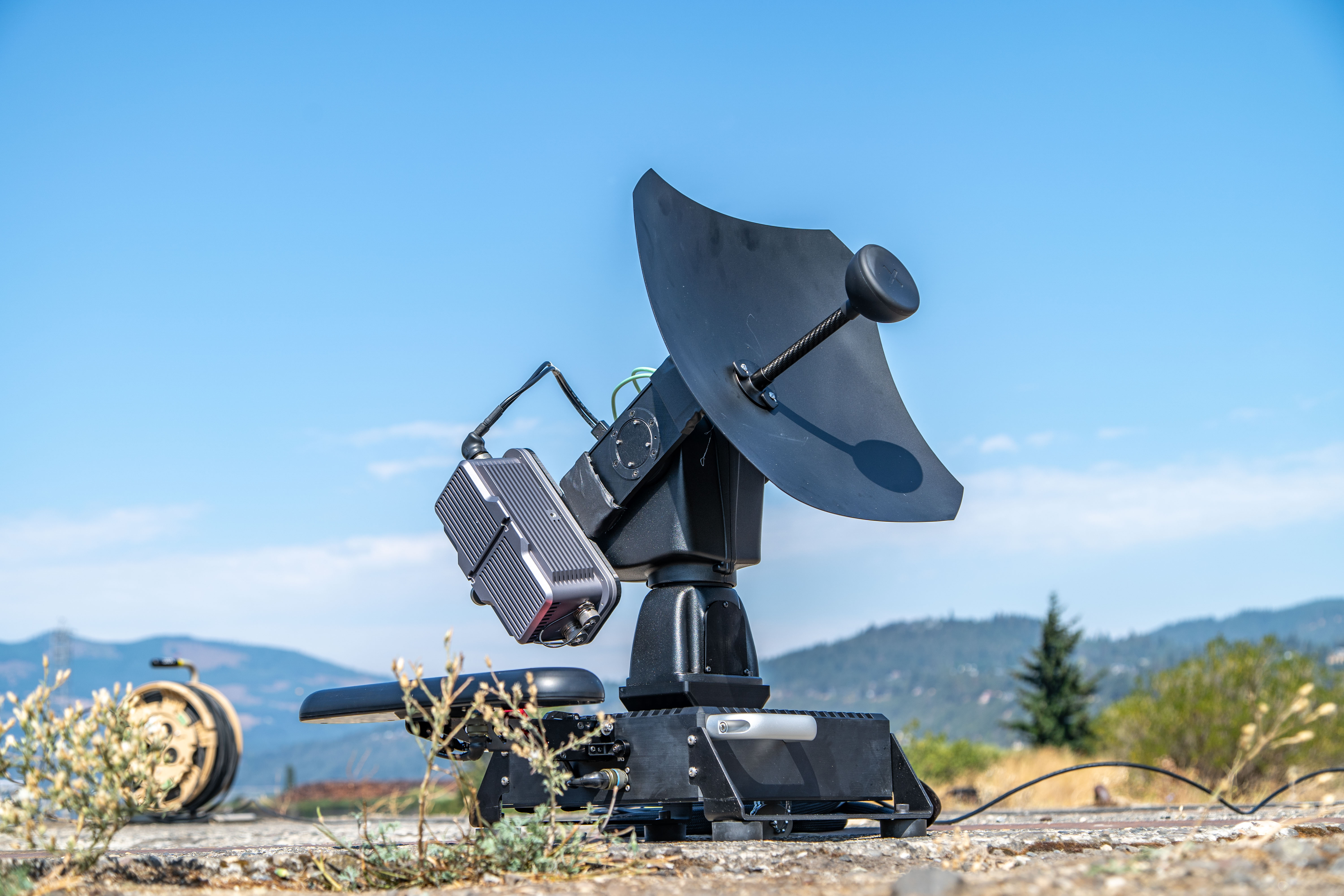
Size/Weight/Power
- Size: 189 x 189 x 286 mm
- Weight: 4.3 kg
- Power (nominal): 110 W
- Operating Temperature:
- -20C to 45C
Missions
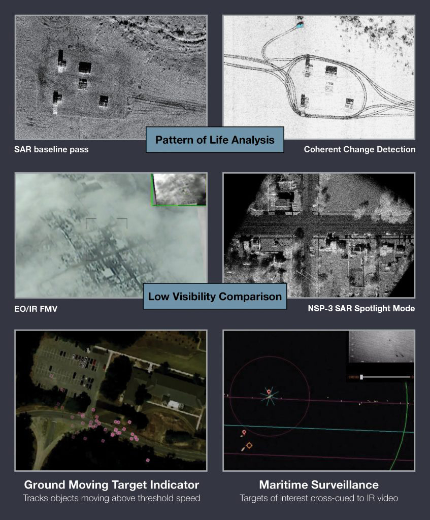
- Wide-area ISR/search
- Maritime domain awareness
- Counter narcotics
- Border security
- ISR in contested environments
- Fisheries monitoring
- Search and rescue
Versatile Feature Set
• Completely autonomous spectral signature target identification—no need to process target data for false positives
• Operates in land, riverine, estuarine, littoral, coastal and open-ocean environments
• Exceptional performance in a variety of degraded visual conditions including haze, smoke, dust, snow/sand storms, high humidity, and day-to-night
• Domain agnostic—no configuration change required when switching environments
Target Detection
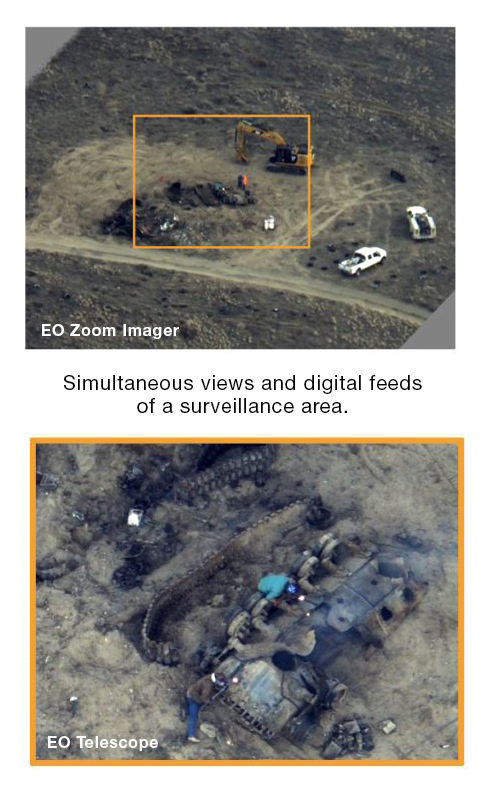
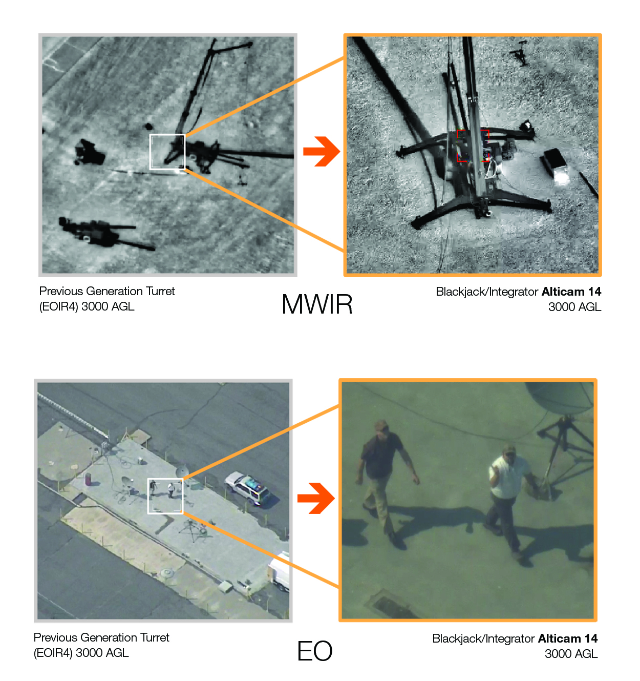
• Significantly greater search area coverage and range to target compared with alternatives.
• Scan-to-scan target tracking and re-identification
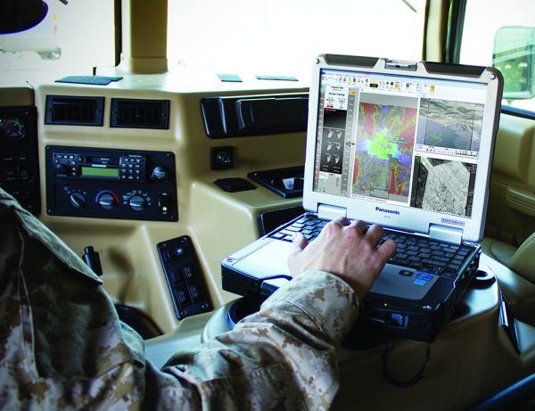
Interoperable C2
• Fully integrated into INEXA Control software. Also available with Arkeus user interface.
Developed and produced by Arkeus.
Integrated and tested in collaboration between Insitu and Arkeus.
Related Systems
The Warden works in conjunction with these Insitu systems.
In the News
Related Stories
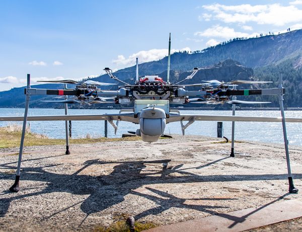
Belgian Defence: The Integrator: Sustained Aerial Reconnaissance as Operational Added Value
The strength of the Integrator lies not only in the platform itself, but in the way it generates, processes, and disseminates information within an operational context.
Read More »Insitu Awarded $8.6 Million Services Contract by Canada Armed Forces to Support Long-Endurance CU-172 (Integrator) UAS Fleet
Insitu, a Boeing Company, has been awarded an $8.6 million firm fixed-price services contract by Canada’s Department of National Defense to support the Canada Armed Forces’ fleet of long-endurance CU-172 Uncrewed Aerial Systems (UAS).
Read More »Insitu Upgrades Integrator VTOL Launch and Recovery System Defying the Challenges of Heavy Seas, Complex Terrain and Contested Environments
These updates further enhance the resilience of the system to withstand the demands of the harshest environments on long deployments
Read More »